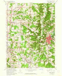
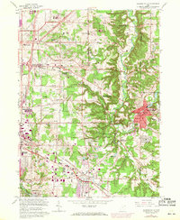
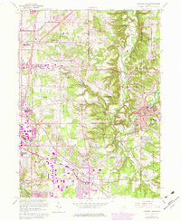
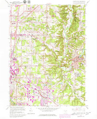
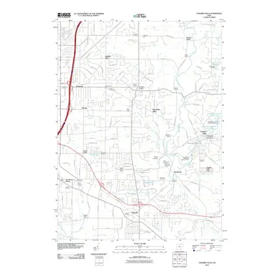
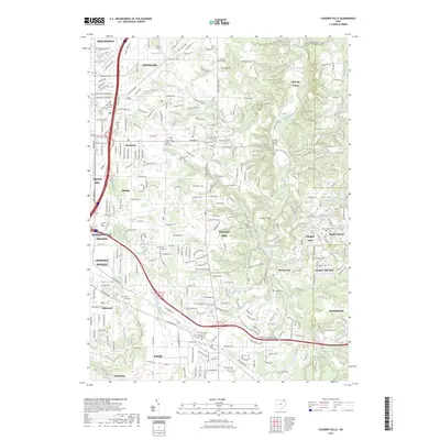
1963 Map of Chagrin Falls
USGS Topo · Published 1964About this map
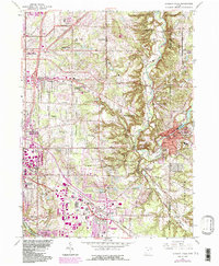
The Chagrin River carves a winding path through this eastern Ohio landscape, defining the boundaries between Hunting Valley, Moreland Hills, and the village of Chagrin Falls. During the early 1960s, the region shows a transition from sprawling estate-style country clubs like the Pepper Pike Country Club and The Country Club toward growing residential centers. The industrial and transit footprint is anchored by the Erie-Lackawanna railroad line cutting through Solon, where a Shopping Center and the Solon Airport indicate mid-century commercial expansion. This survey also records numerous religious and educational institutions, from the Ursuline Academy to the Mother of Perpetual Help Shrine. Large protected areas, most notably the South Chagrin Reservation, preserve the wooded character of the river valley amidst the suburban development of Orange and Bentleyville.
Find a feature on this map
68 named features on this map. Tap any name to fly to it.
Don’t see what you’re looking for? This feature index may not catch every label — zoom into the map to look around manually.
Map Details
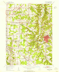
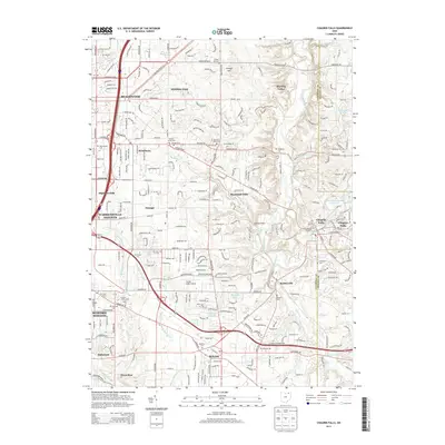
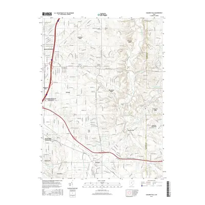
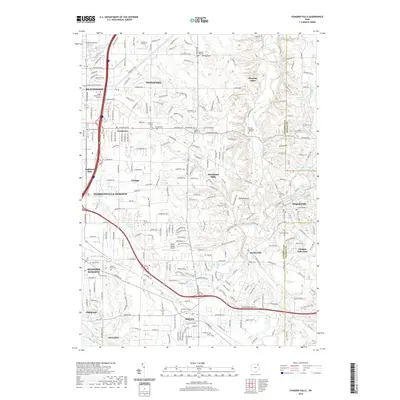
Editions of this 1963 Chagrin Falls Map
6 editions found
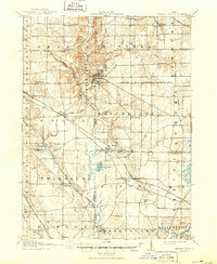
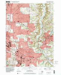
Historical Maps of Solon Through Time
10 maps found

1906 Chagrin Falls
Cuyahoga County, OH
1908 Chagrin Falls
Cuyahoga County, OH
1953 Chagrin Falls
Cuyahoga County, OH

1963 Chagrin Falls
Cuyahoga County, OH
1994 Chagrin Falls
Cuyahoga County, OH
2010 Chagrin Falls
Cuyahoga County, OH
2013 Chagrin Falls
Cuyahoga County, OH
2016 Chagrin Falls
Cuyahoga County, OH
2019 Chagrin Falls
Cuyahoga County, OH
2023 Chagrin Falls
Cuyahoga County, OH