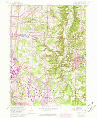
1963 Map of Chagrin Falls
USGS Topo · Published 1980About this map
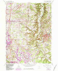
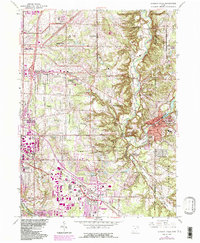
The Chagrin River valley serves as the central corridor for this 1963 survey, revealing the suburban expansion of Cuyahoga County into the Western Reserve. The village of Chagrin Falls sits at the eastern edge, its layout defined by the Millpond and a network of traditional residences. To the west, the landscape is heavily influenced by large institutional and recreational holdings, including several country clubs and the Beechbrook Orphanage.
Find a feature on this map
65 named features on this map. Tap any name to fly to it.
Don’t see what you’re looking for? This feature index may not catch every label — zoom into the map to look around manually.
Map Details
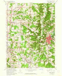
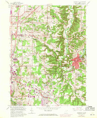
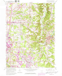
Editions of this 1963 Chagrin Falls Map
6 editions found
Other maps of this area

1901 · Euclid
USGS Topo · 1:62,500

1903 · Cleveland
USGS Topo · 1:62,500

1903 · Euclid
USGS Topo · 1:62,500

1905 · Mentor
USGS Topo · 1:62,500

1906 · Chagrin Falls
USGS Topo · 1:62,500

1907 · Mentor
USGS Topo · 1:62,500

1908 · Chagrin Falls
USGS Topo · 1:62,500

1950 · Cleveland
USGS Topo · 1:250,000

1953 · South Russell
USGS Topo · 1:24,000

1953 · Aurora
USGS Topo · 1:24,000