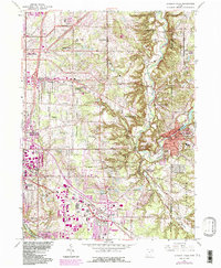
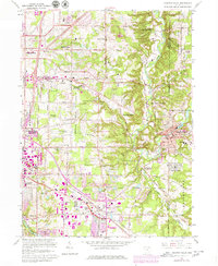
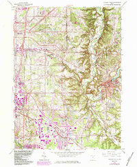
1963 Map of Chagrin Falls
USGS Topo · Published 1984About this map
The Chagrin River carves a deep valley through this landscape, defining the character of Hunting Valley and the sharp topography of the South Chagrin Reservation. In the mid-20th century, this area transitioned from early rural estates to a network of established communities such as Pepper Pike, Moreland Hills, and Solon. Significant institutional landmarks are scattered throughout the hills, including the Beechbrook Orphanage, Ursuline Academy, and the Mother of Perpetual Help Shrine.
Find a feature on this map
55 named features on this map. Tap any name to fly to it.
Don’t see what you’re looking for? This feature index may not catch every label — zoom into the map to look around manually.
Map Details
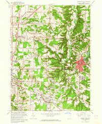
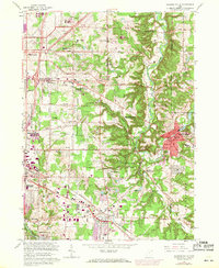
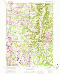
Editions of this 1963 Chagrin Falls Map
6 editions found
Other maps of this area

1901 · Euclid
USGS Topo · 1:62,500

1903 · Cleveland
USGS Topo · 1:62,500

1903 · Euclid
USGS Topo · 1:62,500

1905 · Mentor
USGS Topo · 1:62,500

1906 · Chagrin Falls
USGS Topo · 1:62,500

1907 · Mentor
USGS Topo · 1:62,500

1908 · Chagrin Falls
USGS Topo · 1:62,500

1950 · Cleveland
USGS Topo · 1:250,000

1953 · South Russell
USGS Topo · 1:24,000

1953 · Aurora
USGS Topo · 1:24,000