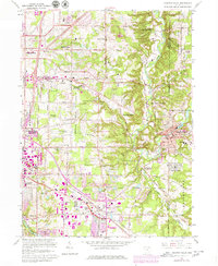
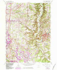
1963 Map of Chagrin Falls
USGS Topo · Published 1980About this map
Chagrin River meanders through a landscape defined by the expansion of Cleveland's eastern suburbs during the mid-twentieth century. This survey documents the transition from rural townships to a series of affluent villages and residential developments. The area's social fabric is illustrated by several private institutions, including The Country Club, the Orange Beachbrook Orphanage, and Ursuline Academy. In the southeast, the village of Chagrin Falls retains its core around the Millpond, while nearby Bentleyville and Moreland Hills preserve a more wooded character adjacent to the South Chagrin Reservation. Transportation routes such as Shaker Blvd and the Norfolk and Western railroad facilitate the connection between these residential pockets and the city. Researchers will find numerous localized landmarks, from Orange Hill Cem to the Mother of Perpetual Help Shrine, which mark the era's evolving land use.
Find a feature on this map
83 named features on this map. Tap any name to fly to it.
Don’t see what you’re looking for? This feature index may not catch every label — zoom into the map to look around manually.
Map Details
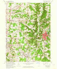
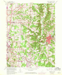
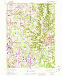
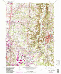
Editions of this 1963 Chagrin Falls Map
6 editions found
Other maps of this area

1901 · Euclid
USGS Topo · 1:62,500

1903 · Cleveland
USGS Topo · 1:62,500

1903 · Euclid
USGS Topo · 1:62,500

1905 · Mentor
USGS Topo · 1:62,500

1906 · Chagrin Falls
USGS Topo · 1:62,500

1907 · Mentor
USGS Topo · 1:62,500

1908 · Chagrin Falls
USGS Topo · 1:62,500

1950 · Cleveland
USGS Topo · 1:250,000

1953 · South Russell
USGS Topo · 1:24,000

1953 · Aurora
USGS Topo · 1:24,000