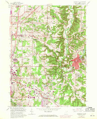
1963 Map of Chagrin Falls
USGS Topo · Published 1971About this map
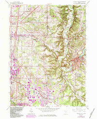
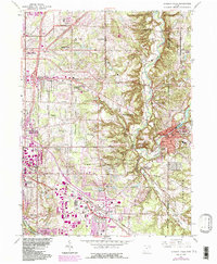
Chagrin River valley life in the early 1960s is defined by a landscape transitioning from estates and country clubs into postwar suburban centers. The map documents the intricate network of villages east of Cleveland, including Chagrin Falls and Hunting Valley, where the river winds through steep topography toward the Millpond. This era captures the expansion of infrastructure, shown in purple revisions, alongside established institutional landmarks like the Beechbrook Orphanage and the Mother of Perpetual Help Shrine. The presence of the Erie-Lackawanna and Norfolk and Western railroads illustrates the enduring industrial corridor through Solon and Glenwillow. From the U S Mil Res to the many golf courses like Pepper Pike Country Club, the sheet preserves a distinct record of land use before later development further densified these eastern Cuyahoga County communities.
Find a feature on this map
87 named features on this map. Tap any name to fly to it.
Don’t see what you’re looking for? This feature index may not catch every label — zoom into the map to look around manually.
Map Details
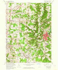
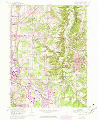
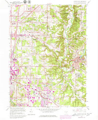
Editions of this 1963 Chagrin Falls Map
6 editions found
Other maps of this area

1901 · Euclid
USGS Topo · 1:62,500

1903 · Cleveland
USGS Topo · 1:62,500

1903 · Euclid
USGS Topo · 1:62,500

1905 · Mentor
USGS Topo · 1:62,500

1906 · Chagrin Falls
USGS Topo · 1:62,500

1907 · Mentor
USGS Topo · 1:62,500

1908 · Chagrin Falls
USGS Topo · 1:62,500

1950 · Cleveland
USGS Topo · 1:250,000

1953 · South Russell
USGS Topo · 1:24,000

1953 · Aurora
USGS Topo · 1:24,000