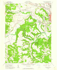
1961 Map of Chillicothe West
USGS Topo · Published 1962About this map
Chillicothe serves as the focal point of this 1960s study, where the western edges of the city meet the dramatic turn of Paint Creek. The landscape transition from the developed valley floor to the high ridges is evident in the residential expansion of Brewer Heights and North Fork Village. Beyond the suburban fringe, the map captures a rural interior characterized by family-named landmarks and small community centers. To the west, the curiously named settlement of Knockemstiff stands near Black Run, while institutional footprints like the V A Hospital and the Chillicothe Federal Reformatory occupy significant acreage north of the city. Geologic features such as the Alum Cliffs overlook the winding North Fork Paint Creek, and the presence of numerous small cemeteries like St Margarets Cem and Moore Cem provides valuable data for genealogical research within the Virginia Military District.
Find a feature on this map
81 named features on this map. Tap any name to fly to it.
Don’t see what you’re looking for? This feature index may not catch every label — zoom into the map to look around manually.
Map Details
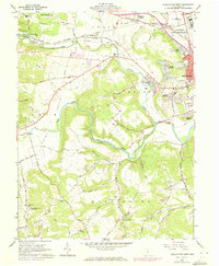
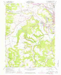
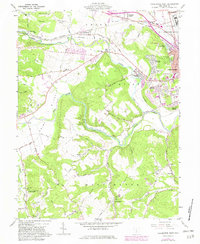
Editions of this 1961 Chillicothe West Map
4 editions found
Other maps of this area

1906 · Waverly
USGS Topo · 1:62,500

1906 · Chillicothe
USGS Topo · 1:62,500

1908 · Chillicothe
USGS Topo · 1:62,500

1908 · Waverly
USGS Topo · 1:62,500

1912 · Roxabell
USGS Topo · 1:62,500

1914 · Roxabell
USGS Topo · 1:62,500

1915 · Piketon
USGS Topo · 1:62,500

1917 · Piketon
USGS Topo · 1:62,500

1944 · Piketon
USGS Topo · 1:62,500

1944 · Roxabell
USGS Topo · 1:62,500