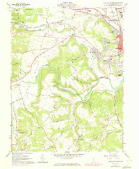
1961 Map of Chillicothe West
USGS Topo · Published 1972About this map
Chillicothe is anchored by institutional complexes and sprawling valley floors in this 1961 survey, where the V A Hospital and Chillicothe Federal Reformatory dominate the northern landscape. The winding course of the North Fork Paint Creek carves through the terrain, passing the small settlement of Slate Mills and the dramatic Alum Cliffs. The map captures the distinct topography of Huntington and Union townships, where family-named roads like Grubb Road and Bishop Hill Road link isolated rural landmarks.
Find a feature on this map
62 named features on this map. Tap any name to fly to it.
Don’t see what you’re looking for? This feature index may not catch every label — zoom into the map to look around manually.
Map Details
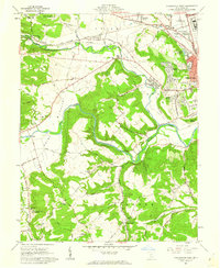
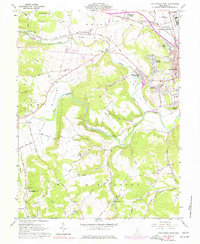
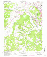
Editions of this 1961 Chillicothe West Map
4 editions found
Other maps of this area

1906 · Waverly
USGS Topo · 1:62,500

1906 · Chillicothe
USGS Topo · 1:62,500

1908 · Chillicothe
USGS Topo · 1:62,500

1908 · Waverly
USGS Topo · 1:62,500

1912 · Roxabell
USGS Topo · 1:62,500

1914 · Roxabell
USGS Topo · 1:62,500

1915 · Piketon
USGS Topo · 1:62,500

1917 · Piketon
USGS Topo · 1:62,500

1944 · Piketon
USGS Topo · 1:62,500

1944 · Roxabell
USGS Topo · 1:62,500