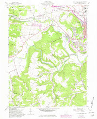
1961 Map of Chillicothe West
USGS Topo · Published 1982About this map
The western periphery of Chillicothe is anchored by the historic Adena State Memorial and the sprawling Correctional Institute, marking a landscape where institutional development meets pioneer history. The winding course of Paint Creek and the North Fork Paint Creek carve through the terrain, creating the dramatic Alum Cliffs. This 1960s-era topography shows the distinct shift from the dense urban grid of Ross County's seat to the rural ridges of Union and Huntington townships.
Find a feature on this map
77 named features on this map. Tap any name to fly to it.
Don’t see what you’re looking for? This feature index may not catch every label — zoom into the map to look around manually.
Map Details
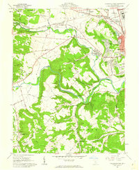
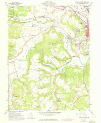
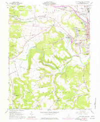
Editions of this 1961 Chillicothe West Map
4 editions found
Other maps of this area

1906 · Waverly
USGS Topo · 1:62,500

1906 · Chillicothe
USGS Topo · 1:62,500

1908 · Chillicothe
USGS Topo · 1:62,500

1908 · Waverly
USGS Topo · 1:62,500

1912 · Roxabell
USGS Topo · 1:62,500

1914 · Roxabell
USGS Topo · 1:62,500

1915 · Piketon
USGS Topo · 1:62,500

1917 · Piketon
USGS Topo · 1:62,500

1944 · Piketon
USGS Topo · 1:62,500

1944 · Roxabell
USGS Topo · 1:62,500