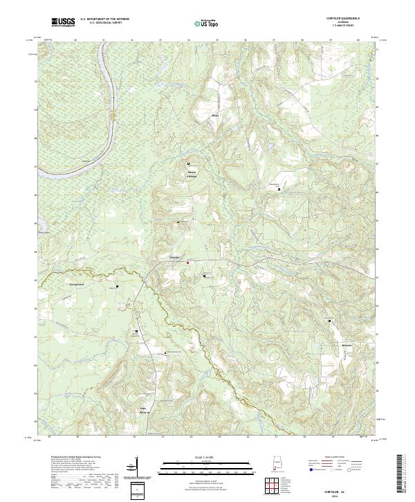
2024 Map of Chrysler
USGS Topo · Published 2024About this map
The Alabama River and its intricate network of tributaries define this pocket of Monroe and Baldwin counties. Several small communities and family nodes are documented, including Chrysler, Mount Pleasant, and Eliska, alongside the riverside settlement of Georgetown. The landscape is notably marked by local burial grounds, serving as a significant resource for genealogical research with sites such as Mamies Chapel Cem, Mineola Cem, and the Phillips Family Cem recorded across the terrain.
Find a feature on this map
66 named features on this map. Tap any name to fly to it.
Don’t see what you’re looking for? This feature index may not catch every label — zoom into the map to look around manually.
Map Details
Editions of this 2024 Chrysler Map
This is the sole edition of this map. No revisions or reprints were ever made.
Historical Maps of Mineola Through Time
28 maps found
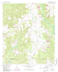
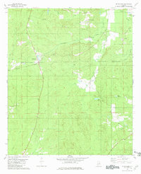
1971 Burnt Corn
Monroe County, AL
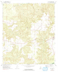
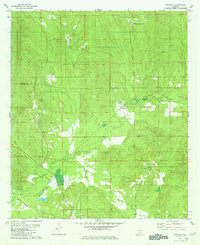
1971 Skinnerton
Monroe County, AL
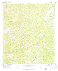
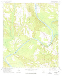
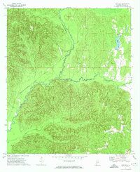
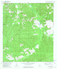
1972 Chrysler
Monroe County, AL
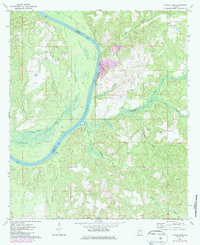
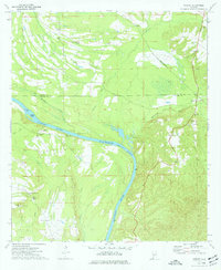
1972 Claiborne
Monroe County, AL
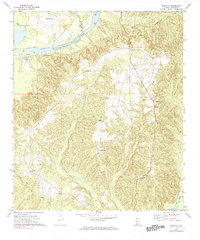
1972 Flynns Lake
Monroe County, AL
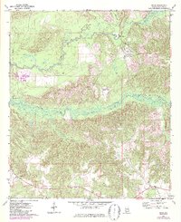
1972 Franklin
Monroe County, AL
1972 Mexia
Monroe County, AL
1972 Natchez
Monroe County, AL
1972 Uriah East
Monroe County, AL
1972 Uriah West
Monroe County, AL
1973 Hybart
Monroe County, AL
1981 Mc Williams
Monroe County, AL
1981 Nadawah
Monroe County, AL
1981 Pine Apple South
Monroe County, AL
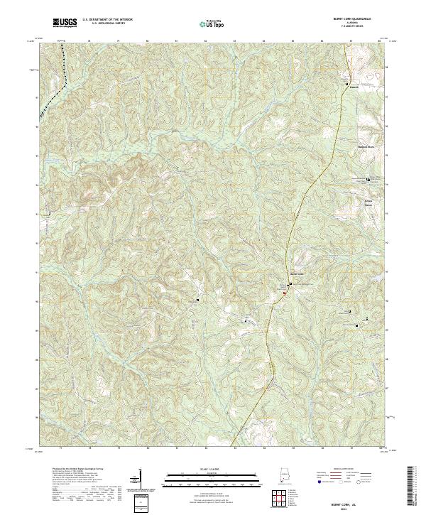
2024 Burnt Corn
Monroe County, AL
2024 Chrysler
Monroe County, AL
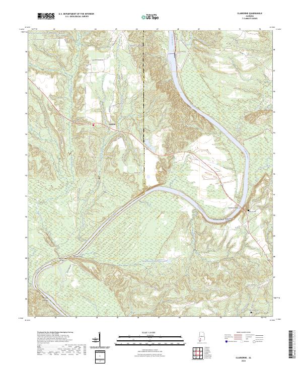
2024 Claiborne
Monroe County, AL
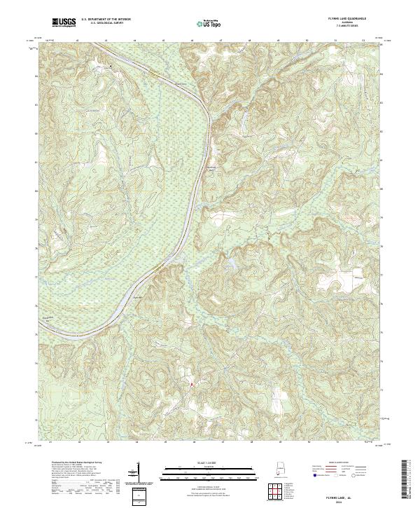
2024 Flynns Lake
Monroe County, AL
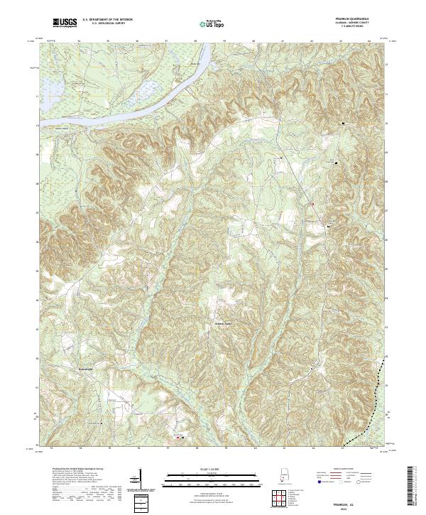
2024 Franklin
Monroe County, AL
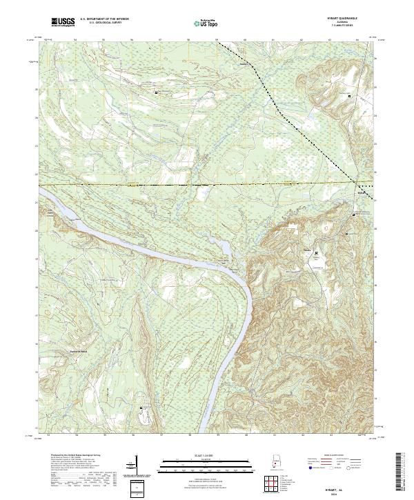
2024 Hybart
Monroe County, AL
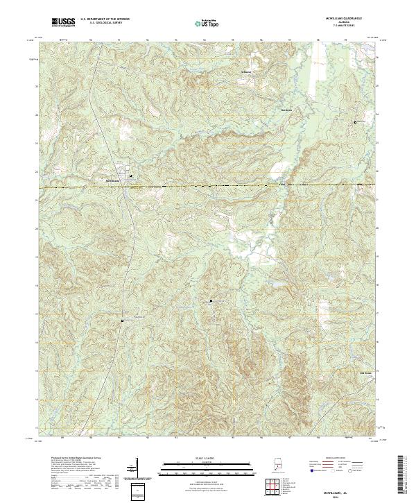
2024 McWilliams
Monroe County, AL
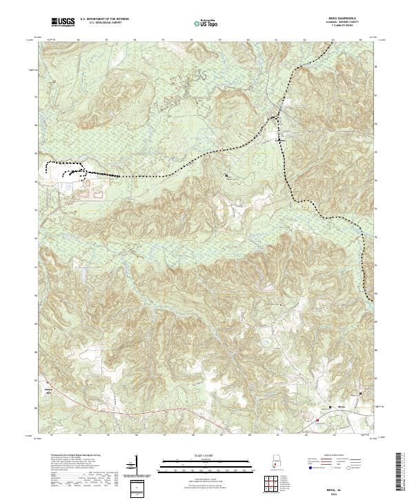
2024 Mexia
Monroe County, AL
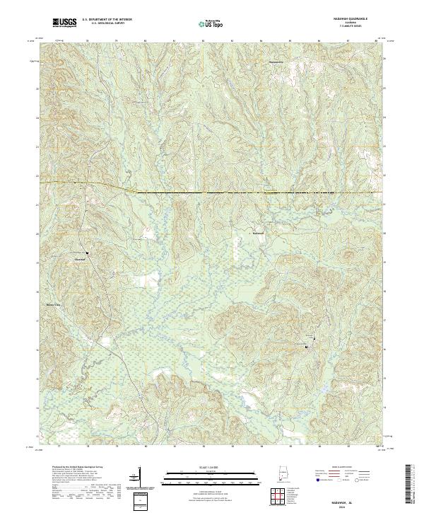
2024 Nadawah
Monroe County, AL
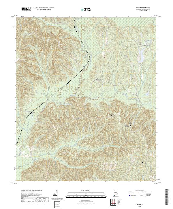
2024 Natchez
Monroe County, AL
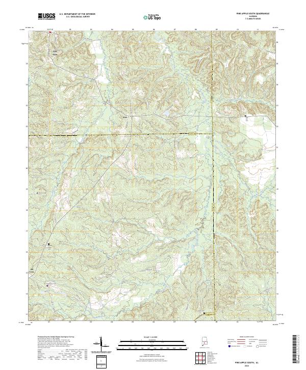
2024 Pine Apple South
Monroe County, AL
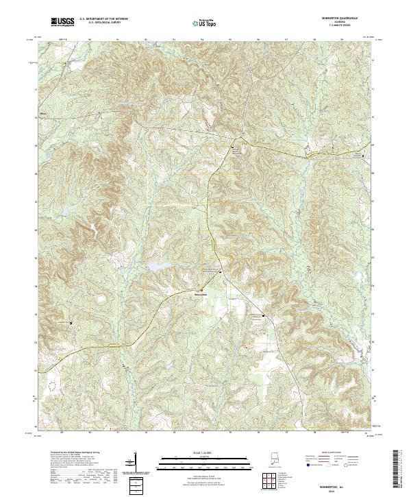
2024 Skinnerton
Monroe County, AL
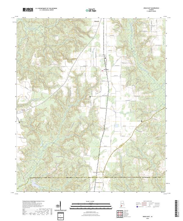
2024 Uriah East
Monroe County, AL
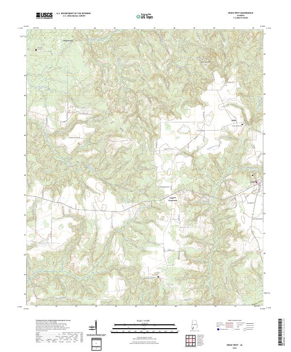
2024 Uriah West
Monroe County, AL