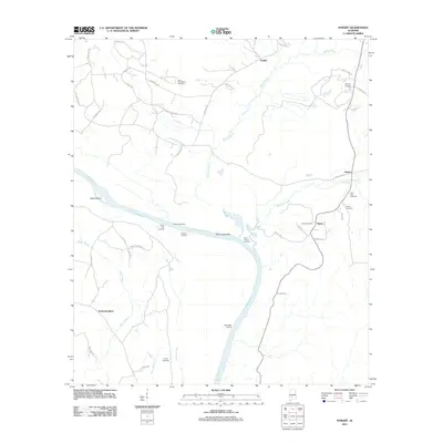
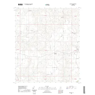
2024 Map of Uriah West
USGS Topo · Published 2024About this map
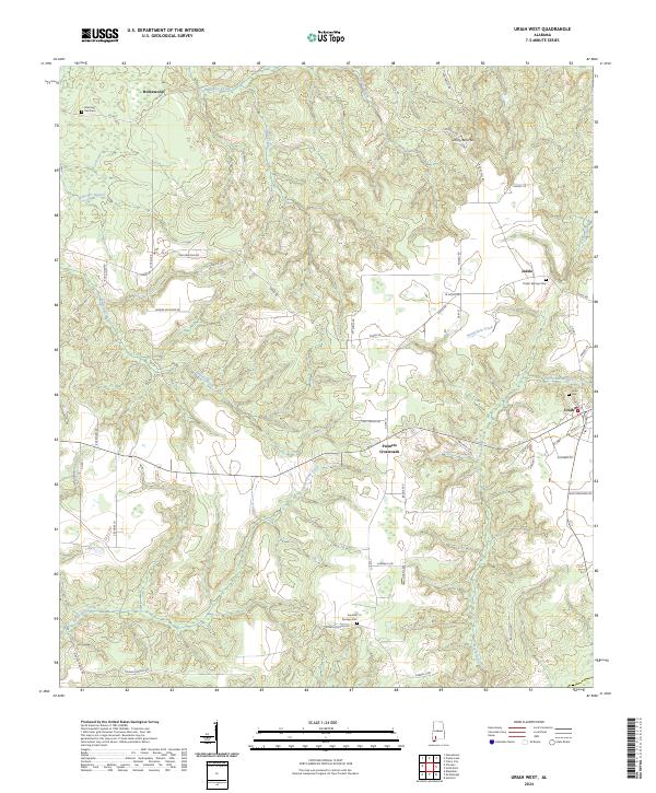
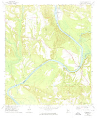
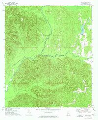
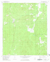
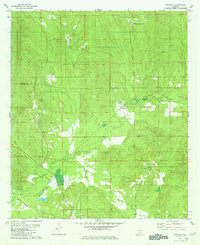
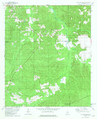
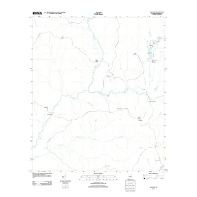
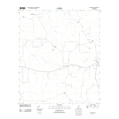
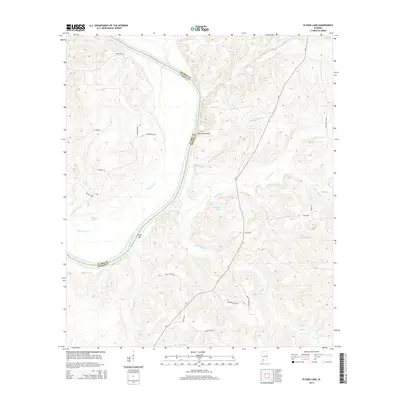
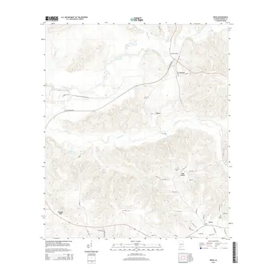
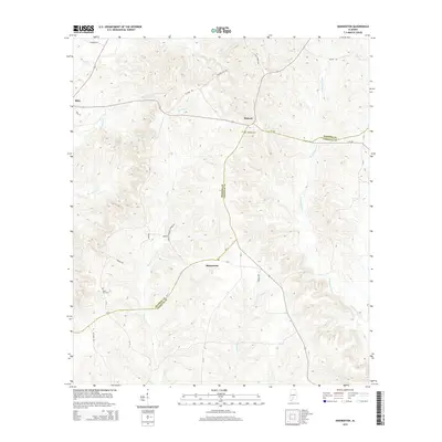
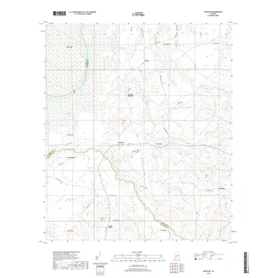
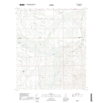
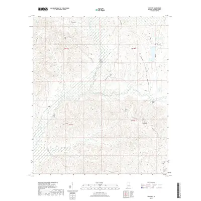
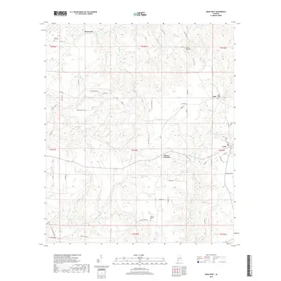
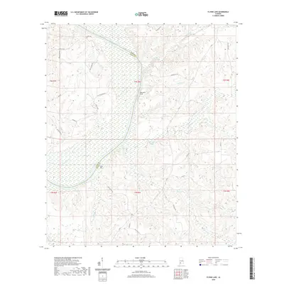
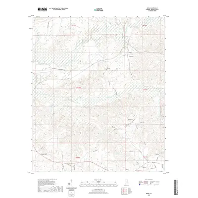
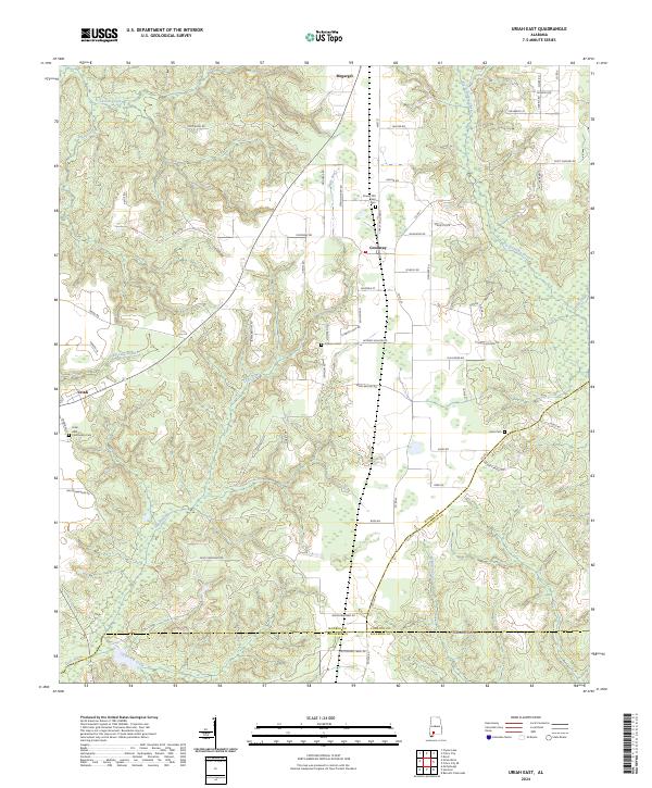
Uriah serves as a primary settlement point in this Monroe County landscape, where the town layout is defined by the intersection of Co Rd 3 and Cemetery St. The surrounding countryside is characterized by a high density of family and community burial grounds, including the Uriah Cem and Poplar Springs Cem near the settlement of Jeddo. This drainage network is intricately mapped, showing how Butterfork Creek and its tributaries like Hurricane Branch carve through the terrain east of Palmers Crossroads. The northern portion of the map reveals localized landmarks such as Jenny Bell Hill and the small community of Homewood. Throughout the quadrangle, rural life is organized along a series of maintained routes such as Semirah Springs Rd and Doc Caylor Rd, which connect scattered homesteads to established water sources like Beaverdam Creek.
Find a feature on this map
62 named features on this map. Tap any name to fly to it.
Don’t see what you’re looking for? This feature index may not catch every label — zoom into the map to look around manually.
Map Details
Editions of this 2024 Uriah West Map
This is the sole edition of this map. No revisions or reprints were ever made.
Historical Maps of Uriah Through Time
84 maps found
1971 Burnt Corn
Monroe County, AL
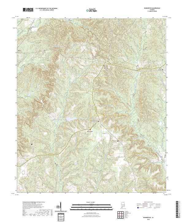
1971 Skinnerton
Monroe County, AL
1972 Chrysler
Monroe County, AL
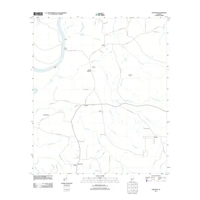
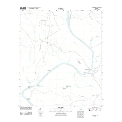
1972 Claiborne
Monroe County, AL
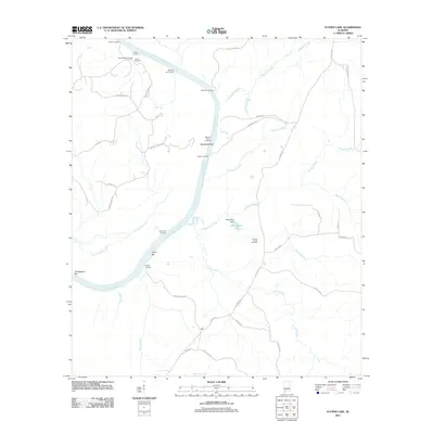
1972 Flynns Lake
Monroe County, AL
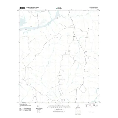
1972 Franklin
Monroe County, AL
1972 Mexia
Monroe County, AL
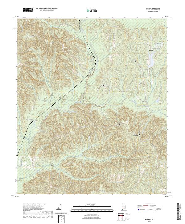
1972 Natchez
Monroe County, AL
1972 Uriah East
Monroe County, AL
1972 Uriah West
Monroe County, AL
1973 Hybart
Monroe County, AL
1981 Mc Williams
Monroe County, AL
1981 Nadawah
Monroe County, AL
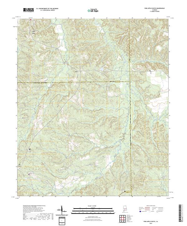
1981 Pine Apple South
Monroe County, AL
2011 Burnt Corn
Monroe County, AL
2011 Chrysler
Monroe County, AL
2011 Claiborne
Monroe County, AL
2011 Flynns Lake
Monroe County, AL
2011 Franklin
Monroe County, AL
2011 Hybart
Monroe County, AL
2011 McWilliams
Monroe County, AL
2011 Mexia
Monroe County, AL
2011 Nadawah
Monroe County, AL
2011 Natchez
Monroe County, AL
2011 Pine Apple South
Monroe County, AL
2011 Skinnerton
Monroe County, AL
2011 Uriah East
Monroe County, AL
2011 Uriah West
Monroe County, AL
2014 Burnt Corn
Monroe County, AL
2014 Chrysler
Monroe County, AL
2014 Claiborne
Monroe County, AL
2014 Flynns Lake
Monroe County, AL
2014 Franklin
Monroe County, AL
2014 Hybart
Monroe County, AL
2014 McWilliams
Monroe County, AL
2014 Mexia
Monroe County, AL
2014 Nadawah
Monroe County, AL
2014 Natchez
Monroe County, AL
2014 Pine Apple South
Monroe County, AL
2014 Skinnerton
Monroe County, AL
2014 Uriah East
Monroe County, AL
2014 Uriah West
Monroe County, AL
2018 Burnt Corn
Monroe County, AL
2018 Chrysler
Monroe County, AL
2018 Claiborne
Monroe County, AL
2018 Flynns Lake
Monroe County, AL
2018 Franklin
Monroe County, AL
2018 Hybart
Monroe County, AL
2018 McWilliams
Monroe County, AL
2018 Mexia
Monroe County, AL
2018 Nadawah
Monroe County, AL
2018 Natchez
Monroe County, AL
2018 Pine Apple South
Monroe County, AL
2018 Skinnerton
Monroe County, AL
2018 Uriah East
Monroe County, AL
2018 Uriah West
Monroe County, AL
2020 Burnt Corn
Monroe County, AL
2020 Chrysler
Monroe County, AL
2020 Claiborne
Monroe County, AL
2020 Flynns Lake
Monroe County, AL
2020 Franklin
Monroe County, AL
2020 Hybart
Monroe County, AL
2020 McWilliams
Monroe County, AL
2020 Mexia
Monroe County, AL
2020 Nadawah
Monroe County, AL
2020 Natchez
Monroe County, AL
2020 Pine Apple South
Monroe County, AL
2020 Skinnerton
Monroe County, AL
2020 Uriah East
Monroe County, AL
2020 Uriah West
Monroe County, AL
2024 Burnt Corn
Monroe County, AL
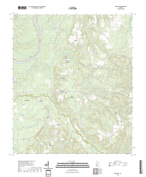
2024 Chrysler
Monroe County, AL
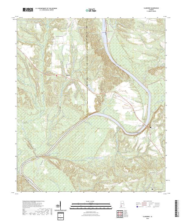
2024 Claiborne
Monroe County, AL
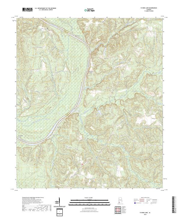
2024 Flynns Lake
Monroe County, AL
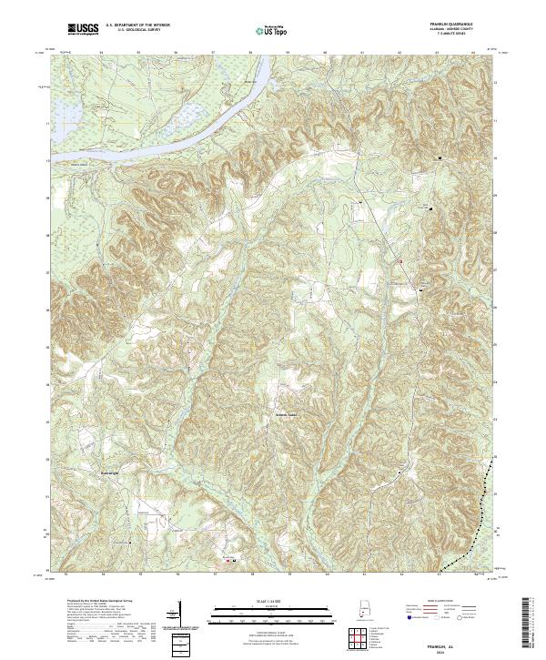
2024 Franklin
Monroe County, AL
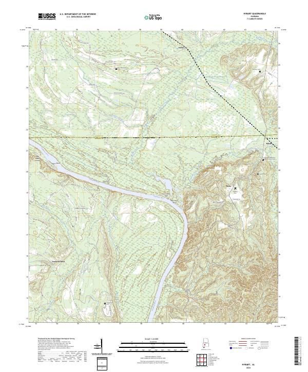
2024 Hybart
Monroe County, AL
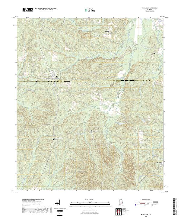
2024 McWilliams
Monroe County, AL
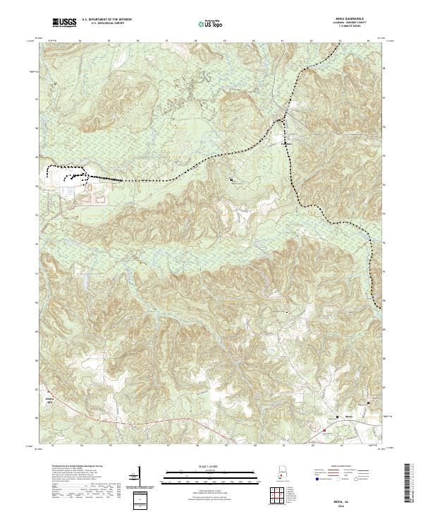
2024 Mexia
Monroe County, AL
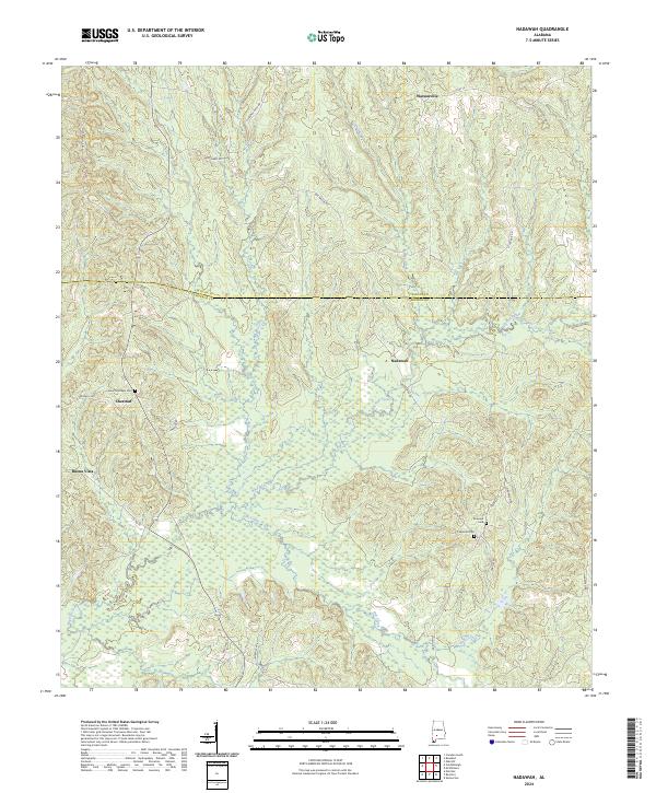
2024 Nadawah
Monroe County, AL
2024 Natchez
Monroe County, AL
2024 Pine Apple South
Monroe County, AL
2024 Skinnerton
Monroe County, AL
2024 Uriah East
Monroe County, AL
2024 Uriah West
Monroe County, AL