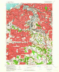
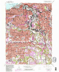
1963 Map of Cleveland South
USGS Topo · Published 1965About this map
The Cuyahoga River carves a deep industrial and logistical path through the heart of Cleveland, dominated in the early 1960s by the complex rail networks of the New York Central and Baltimore and Ohio. This survey captures a dense urban landscape where residential neighborhoods in Parma and Brooklyn press against massive transport infrastructure, including the Union Terminal and the river’s Turning Basin. The area is notably dense with commemorative and institutional land, from the large Woodland Cemetery and Riverside Cemetery to the School for the Blind and St Ignatius College.
Find a feature on this map
112 named features on this map. Tap any name to fly to it.
Don’t see what you’re looking for? This feature index may not catch every label — zoom into the map to look around manually.
Map Details
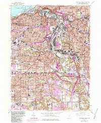
Editions of this 1963 Cleveland South Map
6 editions found
Other maps of this area

1901 · Euclid
USGS Topo · 1:62,500

1902 · Berea
USGS Topo · 1:62,500

1903 · Cleveland
USGS Topo · 1:62,500

1903 · Euclid
USGS Topo · 1:62,500

1904 · Berea
USGS Topo · 1:62,500

1950 · Cleveland
USGS Topo · 1:250,000

1953 · Shaker Heights
USGS Topo · 1:24,000

1953 · Broadview Heights
USGS Topo · 1:24,000

1953 · Berea
USGS Topo · 1:24,000

1953 · East Cleveland
USGS Topo · 1:24,000