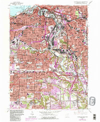
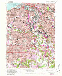
1963 Map of Cleveland South
USGS Topo · Published 1984About this map
The industrial heart of Cleveland and its southern suburbs are defined here by the winding Cuyahoga River, a corridor lined with heavy infrastructure like the Turning Basin, Ore Docks, and a complex web of rail lines including the Baltimore and Ohio. This mid-century landscape shows the city's dense urban core transitioning into burgeoning suburbs like Parma and Brooklyn, while the shoreline of Lake Erie features the landmark Union Terminal and Perkins Beach.
Find a feature on this map
154 named features on this map. Tap any name to fly to it.
Don’t see what you’re looking for? This feature index may not catch every label — zoom into the map to look around manually.
Map Details
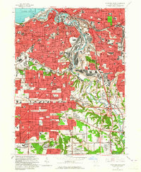
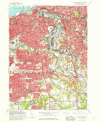
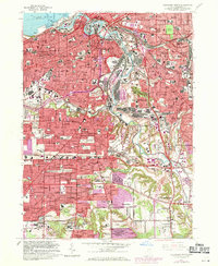
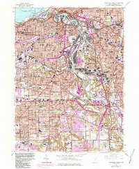
Editions of this 1963 Cleveland South Map
6 editions found
Other maps of this area

1901 · Euclid
USGS Topo · 1:62,500

1902 · Berea
USGS Topo · 1:62,500

1903 · Cleveland
USGS Topo · 1:62,500

1903 · Euclid
USGS Topo · 1:62,500

1904 · Berea
USGS Topo · 1:62,500

1950 · Cleveland
USGS Topo · 1:250,000

1953 · Shaker Heights
USGS Topo · 1:24,000

1953 · Broadview Heights
USGS Topo · 1:24,000

1953 · Berea
USGS Topo · 1:24,000

1953 · East Cleveland
USGS Topo · 1:24,000