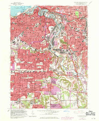
1963 Map of Cleveland South
USGS Topo · Published 1971About this map
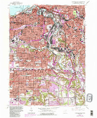
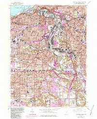
The Cuyahoga River carves a deep industrial valley through this 1963 survey of Cleveland and its southern suburbs, revealing a landscape defined by heavy industry and dense residential expansion. Along the river's winding course, features like the Turning Basin, Ore Docks, and Dry Dock near the Lake Erie shoreline highlight the city's role as a vital Great Lakes port. The rail infrastructure is particularly dense, with the Penn Central, Erie Lackawanna, and Baltimore and Ohio railroads threading between sprawling manufacturing zones and traditional neighborhoods.
Find a feature on this map
137 named features on this map. Tap any name to fly to it.
Don’t see what you’re looking for? This feature index may not catch every label — zoom into the map to look around manually.
Map Details
Editions of this 1963 Cleveland South Map
6 editions found
Other maps of this area

1901 · Euclid
USGS Topo · 1:62,500

1902 · Berea
USGS Topo · 1:62,500

1903 · Cleveland
USGS Topo · 1:62,500

1903 · Euclid
USGS Topo · 1:62,500

1904 · Berea
USGS Topo · 1:62,500

1950 · Cleveland
USGS Topo · 1:250,000

1953 · Shaker Heights
USGS Topo · 1:24,000

1953 · Broadview Heights
USGS Topo · 1:24,000

1953 · Berea
USGS Topo · 1:24,000

1953 · East Cleveland
USGS Topo · 1:24,000