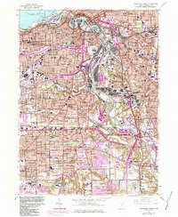
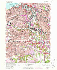
1963 Map of Cleveland South
USGS Topo · Published 1984About this map
The industrial and urban heart of Cleveland is recorded here during a mid-century period of heavy infrastructure and transit expansion. The Cuyahoga River serves as the central artery, winding through the valley past the Turning Basin, Ore Docks, and the expansive Stockyards that once defined the city's commercial gravity. This 1963 survey captures the complex network of the Western Transit and emerging freeway systems like the Jennings Freeway and Willow Freeway, which began to carve through long-established neighborhoods.
Find a feature on this map
127 named features on this map. Tap any name to fly to it.
Don’t see what you’re looking for? This feature index may not catch every label — zoom into the map to look around manually.
Map Details
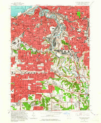
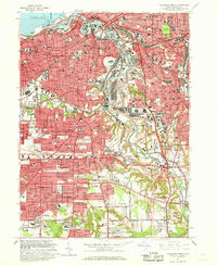
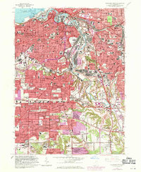
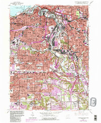
Editions of this 1963 Cleveland South Map
6 editions found
Other maps of this area

1901 · Euclid
USGS Topo · 1:62,500

1902 · Berea
USGS Topo · 1:62,500

1903 · Cleveland
USGS Topo · 1:62,500

1903 · Euclid
USGS Topo · 1:62,500

1904 · Berea
USGS Topo · 1:62,500

1950 · Cleveland
USGS Topo · 1:250,000

1953 · Shaker Heights
USGS Topo · 1:24,000

1953 · Broadview Heights
USGS Topo · 1:24,000

1953 · Berea
USGS Topo · 1:24,000

1953 · East Cleveland
USGS Topo · 1:24,000