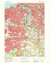
1963 Map of Cleveland South
USGS Topo · Published 1968About this map
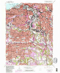
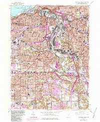
The industrial and residential heart of Cleveland and its southern suburbs are captured here during a period of massive infrastructure expansion. The Cuyahoga River serves as the central artery for heavy industry, characterized by the Turning Basin, extensive rail yards, and the winding path of the Ohio and Erie Canal. This era shows the dense urban fabric of Brooklyn and Newburgh Heights alongside the emerging suburban footprints of Parma and Seven Hills. The map is particularly notable for its concentration of communal and religious landmarks, including St Theodosius Cemetery, the School for the Blind, and the Cleveland Zoological Park. Transportation dominates the landscape, from the Brooklyn Airport to the massive interchange of the Willow Freeway, illustrating a city in transition between its river-and-rail roots and the modern highway era.
Find a feature on this map
83 named features on this map. Tap any name to fly to it.
Don’t see what you’re looking for? This feature index may not catch every label — zoom into the map to look around manually.
Map Details
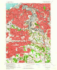
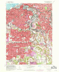
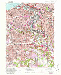
Editions of this 1963 Cleveland South Map
6 editions found
Other maps of this area

1901 · Euclid
USGS Topo · 1:62,500

1902 · Berea
USGS Topo · 1:62,500

1903 · Cleveland
USGS Topo · 1:62,500

1903 · Euclid
USGS Topo · 1:62,500

1904 · Berea
USGS Topo · 1:62,500

1950 · Cleveland
USGS Topo · 1:250,000

1953 · Shaker Heights
USGS Topo · 1:24,000

1953 · Broadview Heights
USGS Topo · 1:24,000

1953 · Berea
USGS Topo · 1:24,000

1953 · East Cleveland
USGS Topo · 1:24,000