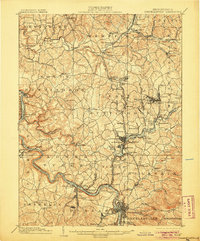
1902 Map of Connellsville
USGS Topo · Published 1905About this map
The Youghiogheny River snakes through the southern portion of this landscape, serving as a vital corridor for the Pittsburg and Lake Erie R.R. and the Baltimore & Ohio R.R.. At the beginning of the twentieth century, this region was a hive of industrial activity driven by the coal and coke trades, specifically through the operations of the H.C. Frick Coke Co. noted in the margin. Coal extraction sites like Star Mines and Summit Mines appear alongside long-standing agricultural and milling landmarks such as Bells Mills and Walts Mill.
Find a feature on this map
149 named features on this map. Tap any name to fly to it.
Don’t see what you’re looking for? This feature index may not catch every label — zoom into the map to look around manually.
Map Details
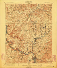
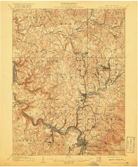
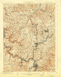
Editions of this 1902 Connellsville Map
5 editions found
Other maps of this area

1900 · Uniontown
USGS Topo · 1:62,500

1900 · Masontown
USGS Topo · 1:62,500

1900 · Latrobe
USGS Topo · 1:62,500

1902 · Latrobe
USGS Topo · 1:62,500

1902 · Brownsville
USGS Topo · 1:62,500

1902 · Connellsville
USGS Topo · 1:62,500

1903 · Masontown
USGS Topo · 1:62,500

1903 · Latrobe
USGS Topo · 1:62,500

1904 · Mc Keesport
USGS Topo · 1:62,500

1904 · Greensburg
USGS Topo · 1:62,500