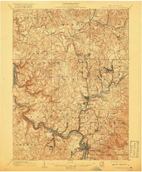
1902 Map of Connellsville
USGS Topo · Published 1918About this map
The Youghiogheny River carves through the southwestern corner of this landscape, serving as a critical corridor for the Pittsburgh and Lake Erie RR and the Balto & Ohio RR. At the dawn of the twentieth century, this region was a powerhouse of the Pennsylvania coke and coal industries, evidenced by industrial sites like Star Mines and the Valley Works. The terrain is defined by a dense network of small company towns and agricultural settlements such as Ruffsdale, Hecla, and Morewood, many connected by the Pittsburgh and Mount Pleasant Pike. Genealogists may find value in tracing the early development of East Huntingdon and Mount Pleasant townships before modern expansion. The presence of numerous mills, including Walts Mill and Bells Mills, suggests an earlier agrarian economy that persisted even as the region transitioned toward heavy industrialization and mining.
Find a feature on this map
114 named features on this map. Tap any name to fly to it.
Don’t see what you’re looking for? This feature index may not catch every label — zoom into the map to look around manually.
Map Details
Editions of this 1902 Connellsville Map
5 editions found
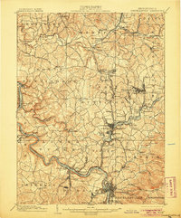
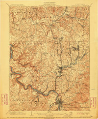
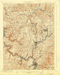
Other maps of this area

1900 · Uniontown
USGS Topo · 1:62,500

1900 · Masontown
USGS Topo · 1:62,500

1900 · Latrobe
USGS Topo · 1:62,500

1902 · Latrobe
USGS Topo · 1:62,500

1902 · Brownsville
USGS Topo · 1:62,500

1902 · Connellsville
USGS Topo · 1:62,500

1903 · Masontown
USGS Topo · 1:62,500

1903 · Latrobe
USGS Topo · 1:62,500

1904 · Mc Keesport
USGS Topo · 1:62,500

1904 · Greensburg
USGS Topo · 1:62,500