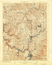
1902 Map of Connellsville
USGS Topo · Published 1925About this map
The Youghiogheny River snakes through the southern portion of this region, serving as a critical artery for the burgeoning industrial landscape of Westmoreland and Fayette Counties. The corridor is densely packed with coal and coke infrastructure, visible in the concentrated settlements and rail spurs surrounding Mount Pleasant and the Southwest Penna. R. R.. Transportation routes like the West Newton and Mount Pleasant Pike and the Pittsburgh and Mount Pleasant Pike connect older agricultural hamlets such as Weavers Old Stand and Bells Mills to the newer mining and industrial hubs.
Find a feature on this map
128 named features on this map. Tap any name to fly to it.
Don’t see what you’re looking for? This feature index may not catch every label — zoom into the map to look around manually.
Map Details
Editions of this 1902 Connellsville Map
5 editions found
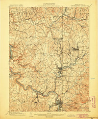
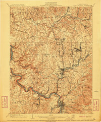
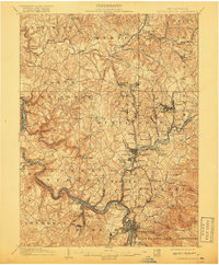
Other maps of this area

1900 · Uniontown
USGS Topo · 1:62,500

1900 · Masontown
USGS Topo · 1:62,500

1900 · Latrobe
USGS Topo · 1:62,500

1902 · Latrobe
USGS Topo · 1:62,500

1902 · Brownsville
USGS Topo · 1:62,500

1902 · Connellsville
USGS Topo · 1:62,500

1903 · Masontown
USGS Topo · 1:62,500

1903 · Latrobe
USGS Topo · 1:62,500

1904 · Mc Keesport
USGS Topo · 1:62,500

1904 · Greensburg
USGS Topo · 1:62,500