
1902 Map of Connellsville
USGS Topo · Published 1902About this map
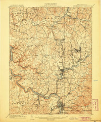
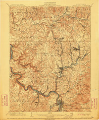
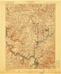
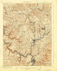
Youghiogheny River carves a deep valley through the heart of the Pennsylvania coal and coke region, anchoring a landscape defined by heavy industry and early pike roads. At the turn of the century, the region is a dense network of rail lines and mining operations, including Star Mines and the various branches of the Penna. R.R. serving the extraction centers. Early transportation routes like the Clay Pike and Pittsburg and Mount Pleasant Pike reflect the older overland trade patterns that preceded the rail dominance.
Find a feature on this map
140 named features on this map. Tap any name to fly to it.
Don’t see what you’re looking for? This feature index may not catch every label — zoom into the map to look around manually.
Map Details
Editions of this 1902 Connellsville Map
5 editions found
Other maps of this area

1900 · Uniontown
USGS Topo · 1:62,500

1900 · Masontown
USGS Topo · 1:62,500

1900 · Latrobe
USGS Topo · 1:62,500

1902 · Latrobe
USGS Topo · 1:62,500

1902 · Brownsville
USGS Topo · 1:62,500

1903 · Masontown
USGS Topo · 1:62,500

1903 · Latrobe
USGS Topo · 1:62,500

1904 · Mc Keesport
USGS Topo · 1:62,500

1904 · Greensburg
USGS Topo · 1:62,500

1906 · Brownsville
USGS Topo · 1:62,500