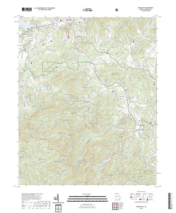
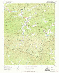
2024 Map of Coosa Bald
USGS Topo · Published 2024About this map
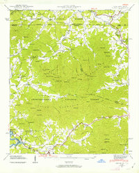
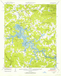
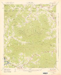
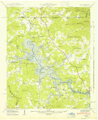
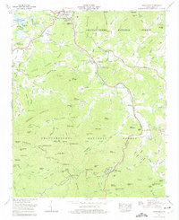
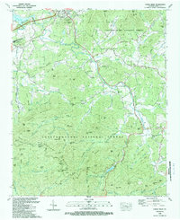
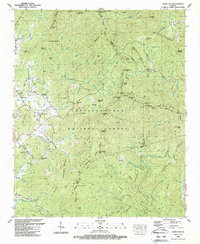
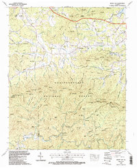
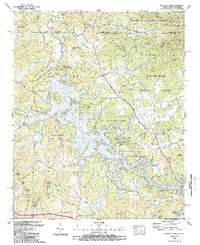
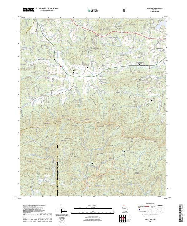
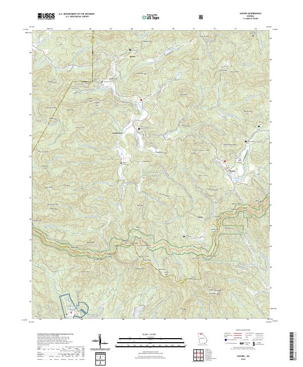
Blairsville serves as the focal point of this northern Georgia landscape, situated where Butternut Creek and several mountain branches converge near the shores of Nottely Lake. The area's settlement history is preserved through an extensive network of family and community burial grounds, including Wellborn Mtn Cem, Mathis Cem, and Choestoe Cem. The terrain is defined by significant ridges and gaps that dictated historical travel routes, such as Little Duncan Ridge and Owltown Gap.
Find a feature on this map
263 named features on this map. Tap any name to fly to it.
Don’t see what you’re looking for? This feature index may not catch every label — zoom into the map to look around manually.
Map Details
Editions of this 2024 Coosa Bald Map
This is the sole edition of this map. No revisions or reprints were ever made.
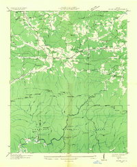
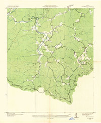
Historical Maps of Owltown Through Time
29 maps found

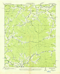
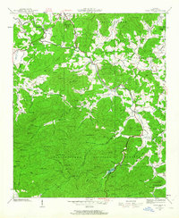
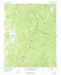
1935 Coosa Bald
Union County, GA
1935 Gumlog
Union County, GA

1935 Ivylog
Union County, GA

1935 Jacks Gap
Union County, GA
1935 Mulky Gap
Union County, GA
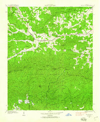
1935 Suches
Union County, GA
1938 Coosa Bald
Union County, GA

1938 Jacks Gap
Union County, GA
1938 Mulky Gap
Union County, GA
1938 Suches
Union County, GA
1941 Gumlog
Union County, GA
1941 Ivylog
Union County, GA
1942 Gumlog
Union County, GA
1942 Ivylog
Union County, GA
1950 Suches
Union County, GA
1957 Jacks Gap
Union County, GA
1965 Coosa Bald
Union County, GA
1965 Mulky Gap
Union County, GA
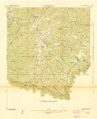
1966 Nottely Dam
Union County, GA
1988 Coosa Bald
Union County, GA
1988 Jacks Gap
Union County, GA
1988 Mulky Gap
Union County, GA
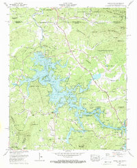
1988 Nottely Dam
Union County, GA
1988 Suches
Union County, GA
2024 Coosa Bald
Union County, GA
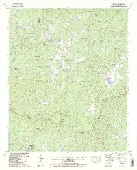
2024 Jacks Gap
Union County, GA
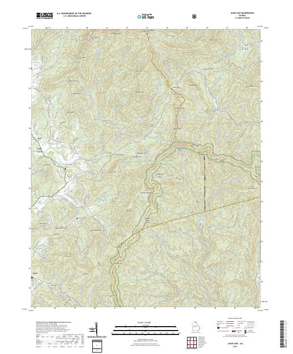
2024 Mulky Gap
Union County, GA
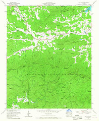
2024 Nottely Dam
Union County, GA
2024 Suches
Union County, GA