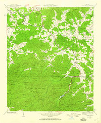
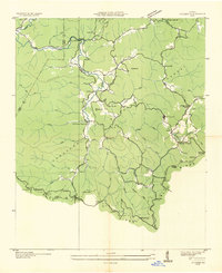
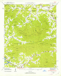
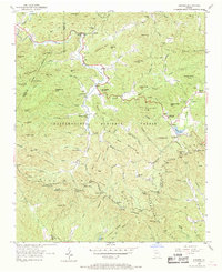
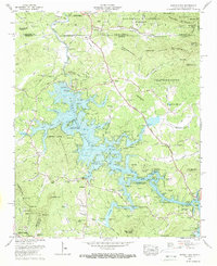
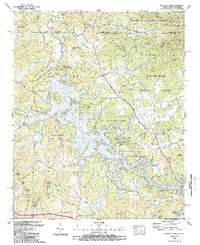
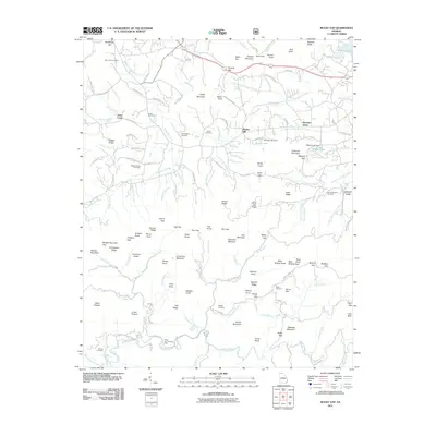
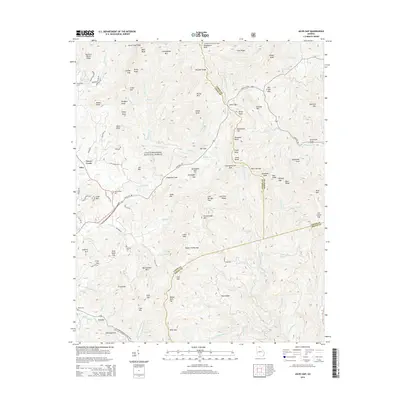
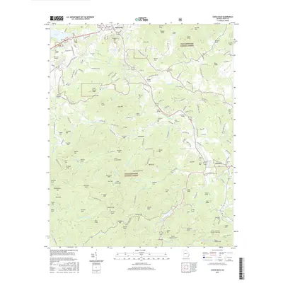
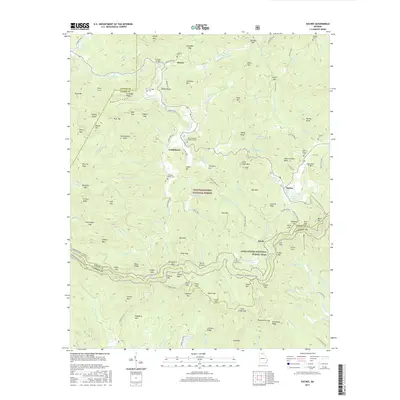
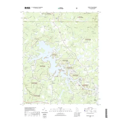
1938 Map of Coosa Bald
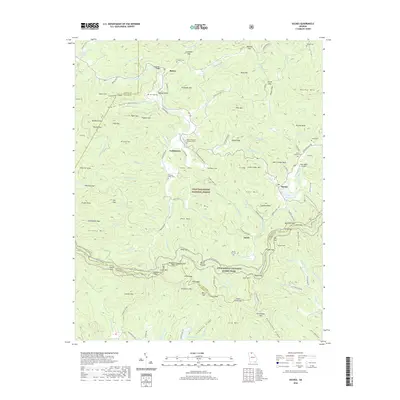
USGS Topo · Published 1959About this map
Blairsville serves as the gateway to the high elevations of the Chattahoochee National Forest on this 1930s survey. The landscape is defined by the headwaters of the Nottely River and its numerous tributaries like Butternut Creek and Coosa Creek. This era reveals a transition in land use, where traditional mountain settlements and small country schools like Coosa Sch and Harmony Grove Sch exist alongside newer developments like Vogel State Park and Lake Trahlyta.
Find a feature on this map
121 named features on this map. Tap any name to fly to it.
Don’t see what you’re looking for? This feature index may not catch every label — zoom into the map to look around manually.
Map Details
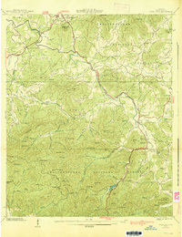
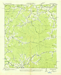
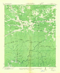
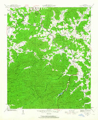
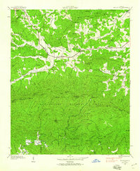
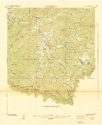
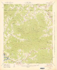
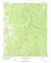
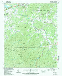
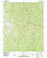
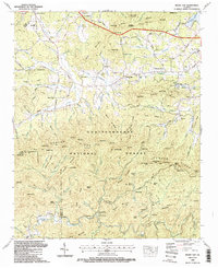
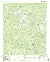
Editions of this 1938 Coosa Bald Map
3 editions found
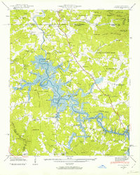
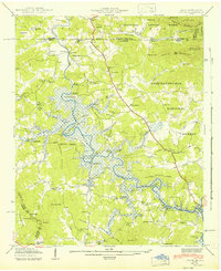
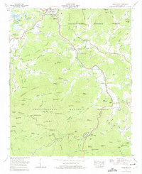
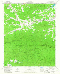
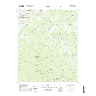
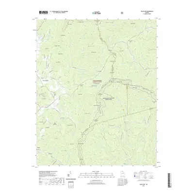
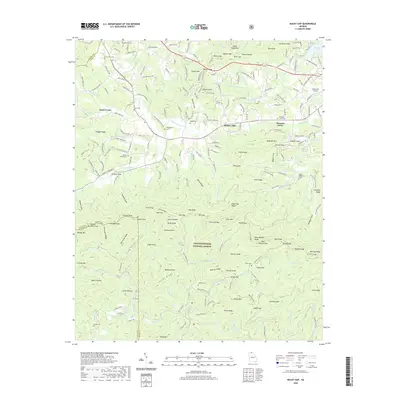
Historical Maps of Blairsville Through Time
49 maps found

1935 Coosa Bald
Union County, GA
1935 Gumlog
Union County, GA

1935 Ivylog
Union County, GA

1935 Jacks Gap
Union County, GA
1935 Mulky Gap
Union County, GA
1935 Suches
Union County, GA
1938 Coosa Bald
Union County, GA

1938 Jacks Gap
Union County, GA
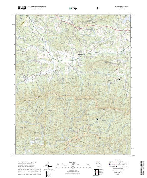
1938 Mulky Gap
Union County, GA
1938 Suches
Union County, GA
1941 Gumlog
Union County, GA
1941 Ivylog
Union County, GA
1942 Gumlog
Union County, GA
1942 Ivylog
Union County, GA
1950 Suches
Union County, GA
1957 Jacks Gap
Union County, GA
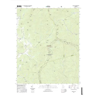
1965 Coosa Bald
Union County, GA
1965 Mulky Gap
Union County, GA
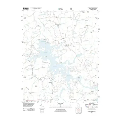
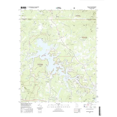
1966 Nottely Dam
Union County, GA
1988 Coosa Bald
Union County, GA
1988 Jacks Gap
Union County, GA
1988 Mulky Gap
Union County, GA
1988 Nottely Dam
Union County, GA
1988 Suches
Union County, GA
2011 Coosa Bald
Union County, GA
2011 Jacks Gap
Union County, GA
2011 Mulky Gap
Union County, GA
2011 Nottely Dam
Union County, GA
2011 Suches
Union County, GA
2014 Coosa Bald
Union County, GA
2014 Jacks Gap
Union County, GA
2014 Mulky Gap
Union County, GA
2014 Nottely Dam
Union County, GA
2014 Suches
Union County, GA
2017 Coosa Bald
Union County, GA
2017 Jacks Gap
Union County, GA
2017 Mulky Gap
Union County, GA
2017 Nottely Dam
Union County, GA
2017 Suches
Union County, GA
2020 Coosa Bald
Union County, GA
2020 Jacks Gap
Union County, GA
2020 Mulky Gap
Union County, GA
2020 Nottely Dam
Union County, GA
2020 Suches
Union County, GA
2024 Coosa Bald
Union County, GA
2024 Jacks Gap
Union County, GA
2024 Mulky Gap
Union County, GA
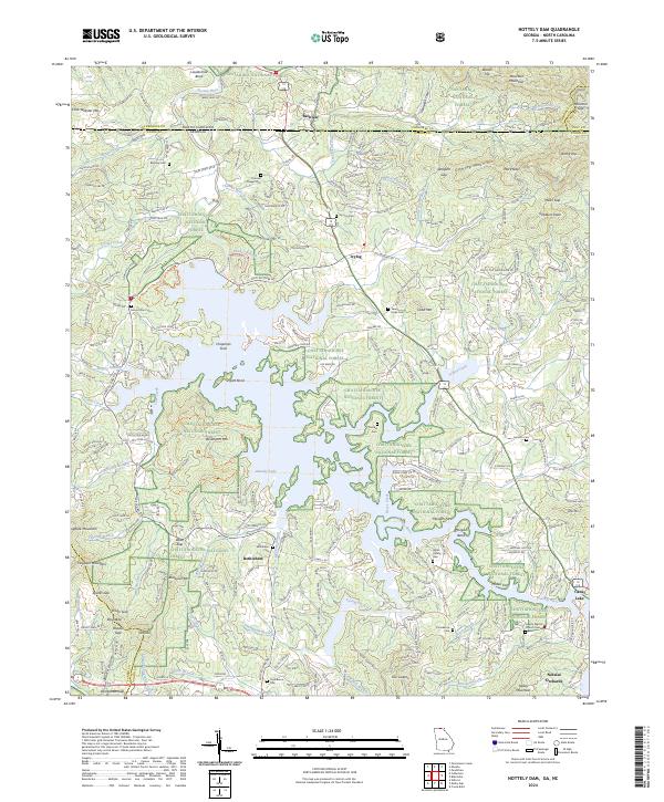
2024 Nottely Dam
Union County, GA
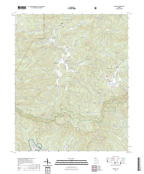
2024 Suches
Union County, GA