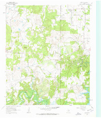
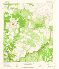
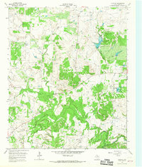
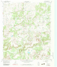
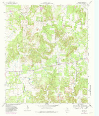
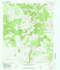
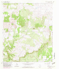
1961 Map of Crafton
USGS Topo · Published 1963This historical map portrays the area of Crafton in 1961, primarily covering Jack County as well as portions of Wise County. Featuring a scale of 1:24000, this map provides a highly detailed snapshot of the terrain, roads, buildings, counties, and historical landmarks in the Crafton region at the time. Published in 1963, it is one of 2 known editions of this map due to revisions or reprints.
Find a feature on this map
19 named features on this map. Tap any name to fly to it.
Don’t see what you’re looking for? This feature index may not catch every label — zoom into the map to look around manually.
Map Details
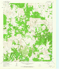
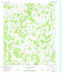
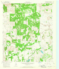
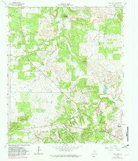
Editions of this 1961 Crafton Map
2 editions found
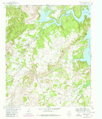
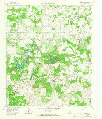
Historical Maps of Jack County Through Time
15 maps found
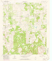
1960 Gibtown
Jack County, TX
1960 Wizard Wells
Jack County, TX
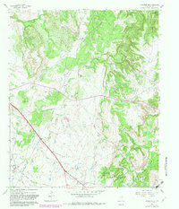
1961 Bartons Chapel
Jack County, TX
1961 Crafton
Jack County, TX
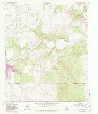
1961 Jacksboro NE
Jack County, TX
1962 Antelope Creek NE
Jack County, TX
1964 Antelope
Jack County, TX
1964 Cundiff
Jack County, TX
1964 Johnson Lake
Jack County, TX
1964 Lynn Creek
Jack County, TX
1964 Newport
Jack County, TX
1964 Postoak
Jack County, TX
1964 Senate
Jack County, TX
1967 Long Hollow
Jack County, TX
1982 Bartons Chapel
Jack County, TX