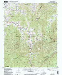
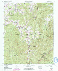
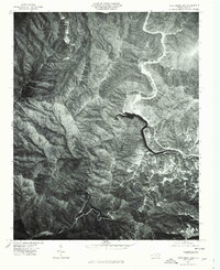
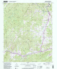
1997 Map of Cruso
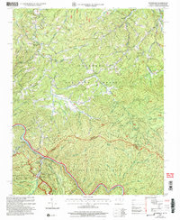
USGS Topo · Published 2001This historical map portrays the area of Cruso in 1997, primarily covering Haywood County as well as portions of Buncombe County and Transylvania County. Featuring a scale of 1:24000, this map provides a highly detailed snapshot of the terrain, roads, buildings, counties, and historical landmarks in the Cruso region at the time. Published in 2001, it is the sole known edition of this map.
Find a feature on this map
77 named features on this map. Tap any name to fly to it.
Don’t see what you’re looking for? This feature index may not catch every label — zoom into the map to look around manually.
Map Details
Editions of this 1997 Cruso Map
This is the sole edition of this map. No revisions or reprints were ever made.
Historical Maps of Haywood County Through Time
29 maps found

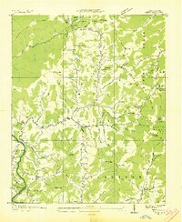
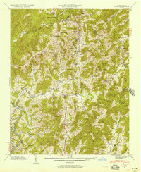
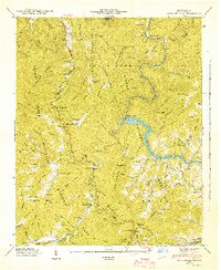
1935 Cruso
Haywood County, NC

1935 Dellwood
Haywood County, NC

1935 Hazelwood
Haywood County, NC

1935 Sam Knob
Haywood County, NC
1936 Cove Creek Gap
Haywood County, NC
1936 Hepco
Haywood County, NC
1941 Cove Creek Gap
Haywood County, NC
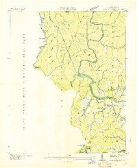
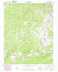
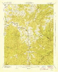
1941 Cruso
Haywood County, NC
1941 Dellwood
Haywood County, NC
1941 Hazelwood
Haywood County, NC
1941 Hepco
Haywood County, NC
1942 Cove Creek Gap
Haywood County, NC
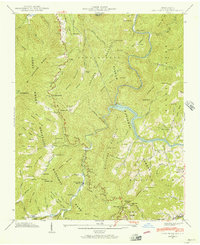
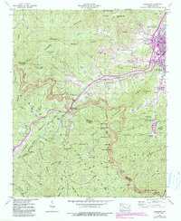
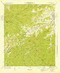
1942 Cruso
Haywood County, NC
1942 Hazelwood
Haywood County, NC
1942 Hepco
Haywood County, NC
1946 Sam Knob
Haywood County, NC
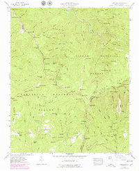
1964 Luftee Knob
Haywood County, NC
1967 Cove Creek Gap
Haywood County, NC
1967 Fines Creek
Haywood County, NC
1976 Cove Creek Gap
Haywood County, NC
1976 Dellwood
Haywood County, NC
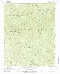
1976 Luftee Knob
Haywood County, NC
1997 Cove Creek Gap
Haywood County, NC
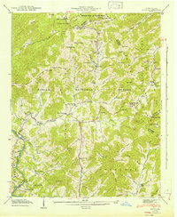
1997 Cruso
Haywood County, NC
1997 Dellwood
Haywood County, NC
1997 Hazelwood
Haywood County, NC
1997 Sam Knob
Haywood County, NC
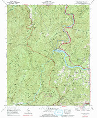
2000 Luftee Knob
Haywood County, NC
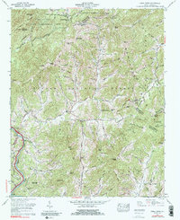
2003 Waterville
Haywood County, NC