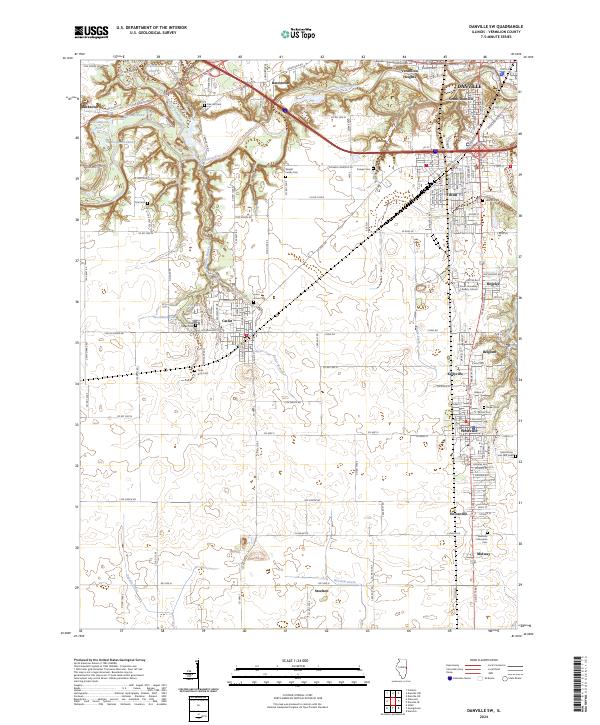
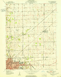
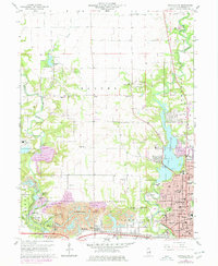
2024 Map of Danville SW
USGS Topo · Published 2024About this map
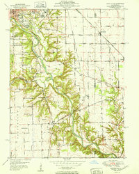
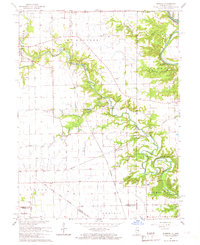
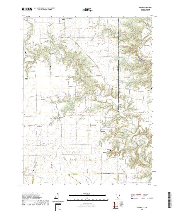
The Vermilion River and the Middle Fork Vermilion Wild and Scenic River define the northern corridor of this landscape, winding past the industrial and residential outskirts of Danville. The area's coal mining and ethnic heritage are reflected in its dense concentration of small communities and specialized landmarks, such as the Westville Lithuanian Cem and Saints Peter and Paul Cem in the southern reaches near Westville.
Find a feature on this map
150 named features on this map. Tap any name to fly to it.
Don’t see what you’re looking for? This feature index may not catch every label — zoom into the map to look around manually.
Map Details
Editions of this 2024 Danville SW Map
This is the sole edition of this map. No revisions or reprints were ever made.
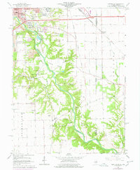
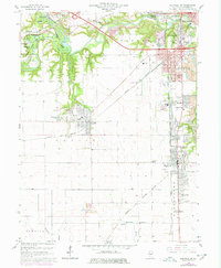
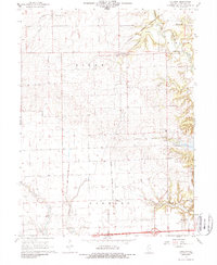
Historical Maps of Unionville Through Time
21 maps found
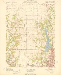
1948 Danville NW
Vermilion County, IL
1949 Danville SW
Vermilion County, IL
1950 Danville NE
Vermilion County, IL
1950 Danville NW
Vermilion County, IL
1950 Danville SE
Vermilion County, IL
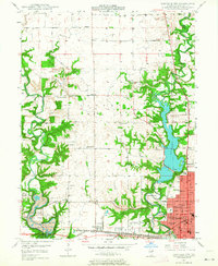
1950 Danville SW
Vermilion County, IL
1951 Danville NE
Vermilion County, IL
1951 Danville SE
Vermilion County, IL
1955 Humrick
Vermilion County, IL
1965 Humrick
Vermilion County, IL
1966 Danville NE
Vermilion County, IL
1966 Danville NW
Vermilion County, IL
1966 Danville SE
Vermilion County, IL
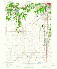
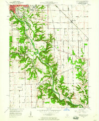
1966 Danville SW
Vermilion County, IL
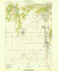
1968 Collison
Vermilion County, IL
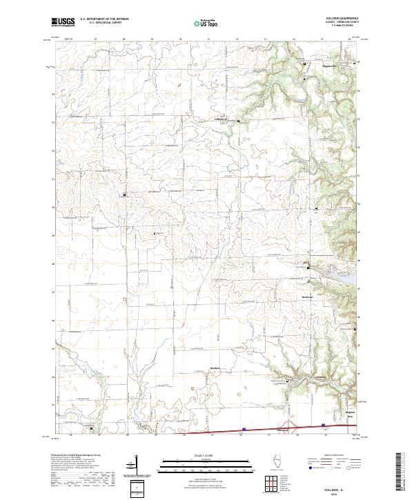
2024 Collison
Vermilion County, IL
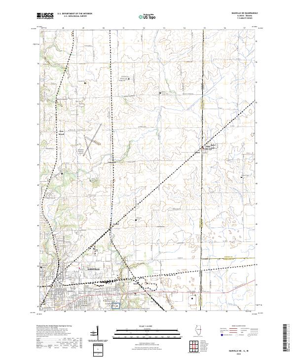
2024 Danville NE
Vermilion County, IL
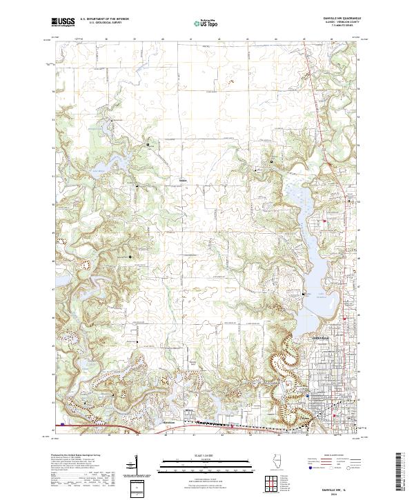
2024 Danville NW
Vermilion County, IL
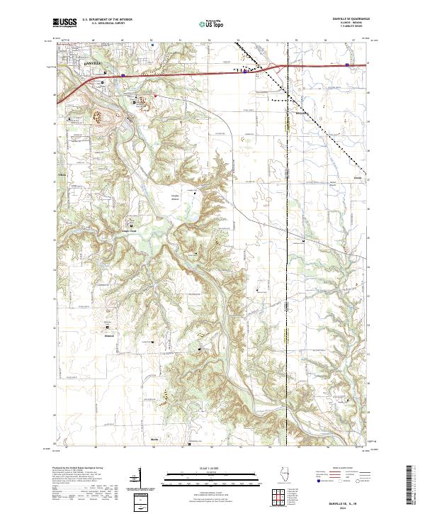
2024 Danville SE
Vermilion County, IL
2024 Danville SW
Vermilion County, IL
2024 Humrick
Vermilion County, IL