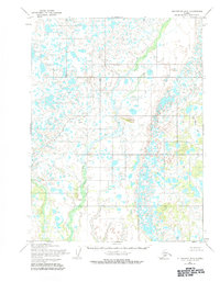
1954 Map of Dillingham B-2
USGS Topo · Published 1984About this map
Ben Courtney Creek meanders through an intricate aquatic landscape in this mid-1950s survey by the Army Map Service. The terrain is characterized by a dense network of countless small lakes, ponds, and marshlands typical of the Bristol Bay region. The only named topographic prominence is Yellow Hill 2, which rises above the surrounding wet lowlands. This survey, compiled from aerial photography taken between 1953 and 1955, reveals a remote wilderness devoid of human settlements or improved infrastructure at the time of mapping. The absence of roads or trails emphasizes the isolation of this corner of Alaska, where the natural drainage patterns and the boundary between Range 43 West and Range 42 West provide the primary points of orientation for researchers and historians studying the region's environmental history.
Find a feature on this map
5 named features on this map. Tap any name to fly to it.
Don’t see what you’re looking for? This feature index may not catch every label — zoom into the map to look around manually.
Map Details
Editions of this 1954 Dillingham B-2 Map
3 editions found
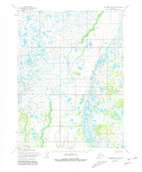
Other maps of this area

1951 · Dillingham
USGS Topo · 1:250,000

1951 · Dillingham A-1
USGS Topo · 1:63,360

1952 · Dillingham A-2
USGS Topo · 1:63,360

1952 · Dillingham A-3
USGS Topo · 1:63,360

1954 · Dillingham
USGS Topo · 1:250,000

1954 · Dillingham C-3
USGS Topo · 1:63,360

1954 · Dillingham C-1
USGS Topo · 1:63,360
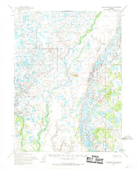
1954 · Dillingham B-2
USGS Topo · 1:63,360

1954 · Dillingham B-3
USGS Topo · 1:63,360

1954 · Dillingham C-2
USGS Topo · 1:63,360