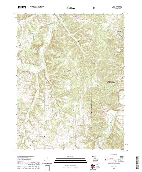
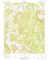
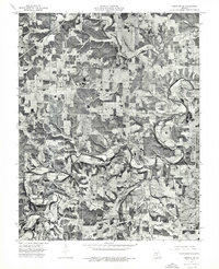
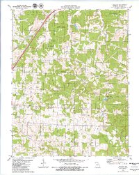
2021 Map of Drew
USGS Topo · Published 2021About this map
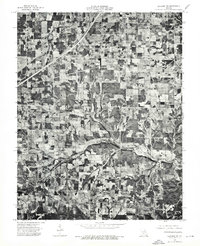
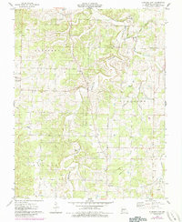
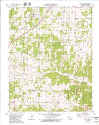
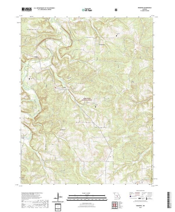
The Osage Fork Gasconade River winds through the heart of Laclede County in this modern survey, defining a landscape of narrow ridges and deep hollows. Small agricultural and timber settlements like Drew, Agnes, and Jacksonville are connected by a network of state routes and rural roads such as State Hwy B and Hwy Z. Genealogy researchers will find several family-named burial sites documented across the terrain, including Bohanon Cem, Hamilton Cem, and Stewart Cem. The eastern portion of the map is dominated by the Mark Twain National Forest, where the Gasconade River flows past Clark Ford. Numerous named topographic features, such as Brookshire Hollow and Big Sleepy Hollow, reflect the local naming traditions and the region's complex drainage system into the N Cobb Cr and Little Cobb Cr.
Find a feature on this map
52 named features on this map. Tap any name to fly to it.
Don’t see what you’re looking for? This feature index may not catch every label — zoom into the map to look around manually.
Map Details
Editions of this 2021 Drew Map
This is the sole edition of this map. No revisions or reprints were ever made.
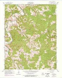
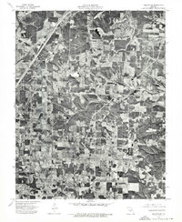
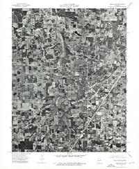
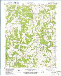
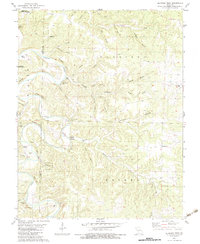
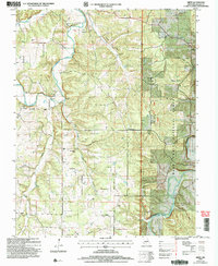
Historical Maps of Drew Through Time
25 maps found
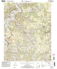
1943 Drynob
Laclede County, MO
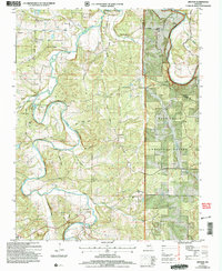
1954 Drew
Laclede County, MO
1954 Drynob
Laclede County, MO
1954 Drynob
Laclede County, MO
1954 Winnipeg
Laclede County, MO
1975 Lebanon NE
Laclede County, MO
1975 Lebanon NW
Laclede County, MO
1975 Lebanon SE
Laclede County, MO
1975 Lebanon SW
Laclede County, MO
1976 Eldridge East
Laclede County, MO
1979 Brush Creek
Laclede County, MO
1979 Oakland
Laclede County, MO
1979 Russ
Laclede County, MO
1982 Eldridge West
Laclede County, MO
2004 Drew
Laclede County, MO
2004 Drynob
Laclede County, MO
2004 Winnipeg
Laclede County, MO
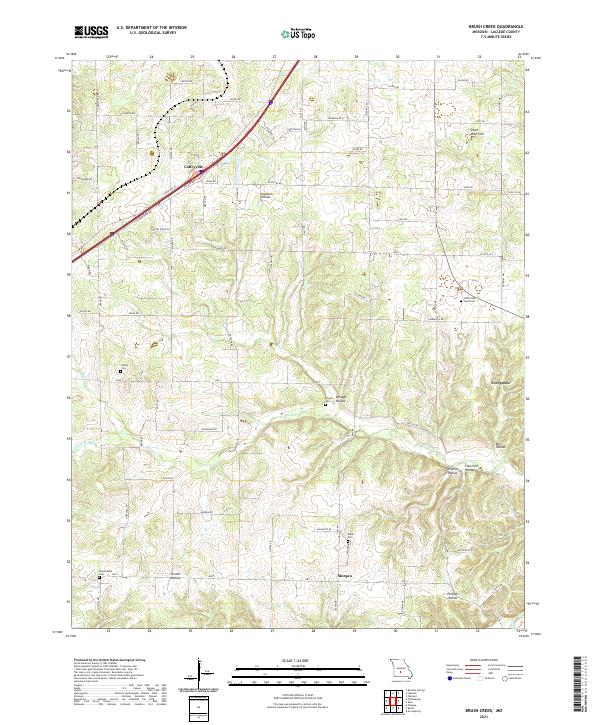
2021 Brush Creek
Laclede County, MO
2021 Drew
Laclede County, MO
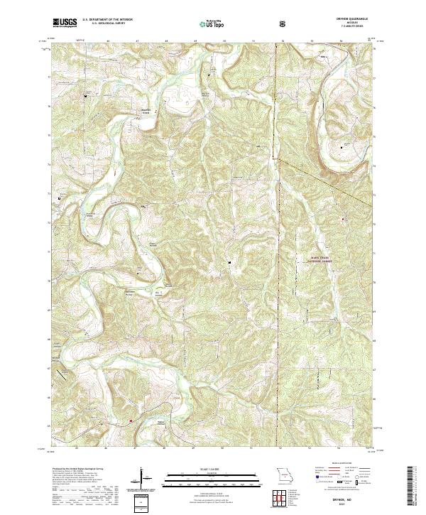
2021 Drynob
Laclede County, MO
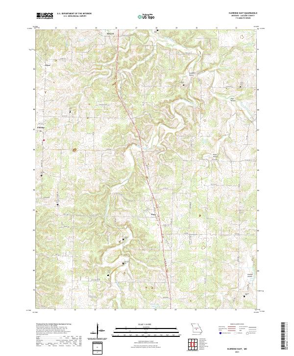
2021 Eldridge East
Laclede County, MO
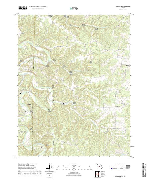
2021 Eldridge West
Laclede County, MO
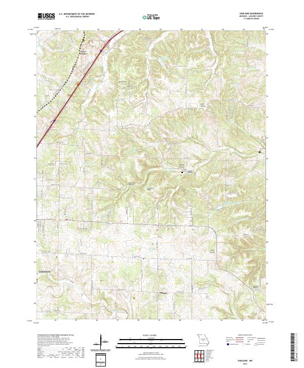
2021 Oakland
Laclede County, MO
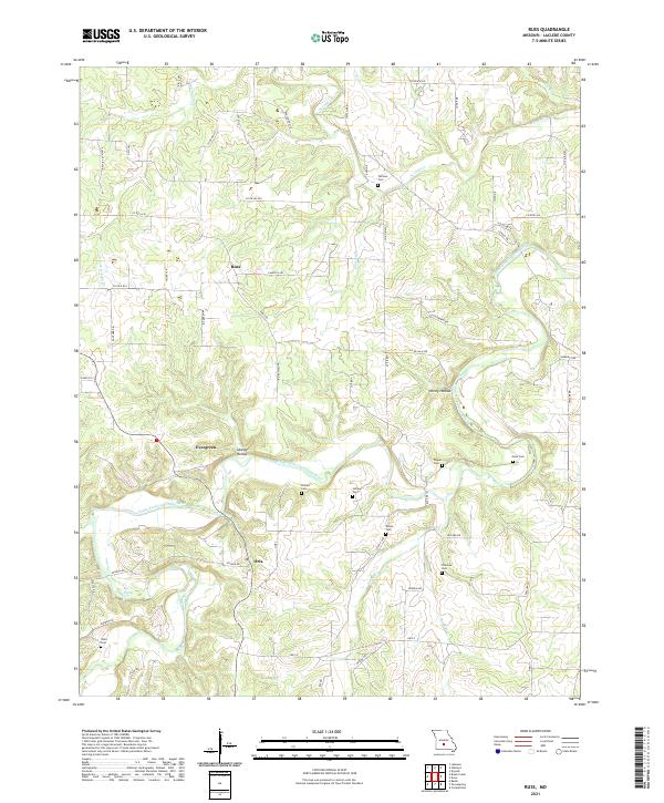
2021 Russ
Laclede County, MO
2021 Winnipeg
Laclede County, MO