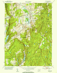
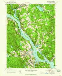
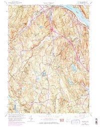
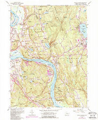
1953 Map of Durham
USGS Topo · Published 1954This historical map portrays the area of Durham in 1953, primarily covering Middlesex County as well as portions of New Haven County. Featuring a scale of 1:31680, this map provides a highly detailed snapshot of the terrain, roads, buildings, counties, and historical landmarks in the Durham region at the time. Published in 1954, it is one of 4 known editions of this map due to revisions or reprints.
Find a feature on this map
84 named features on this map. Tap any name to fly to it.
Don’t see what you’re looking for? This feature index may not catch every label — zoom into the map to look around manually.
Map Details
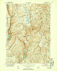
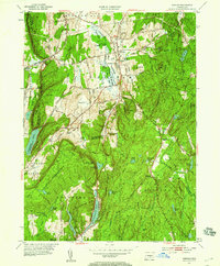
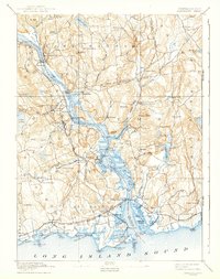
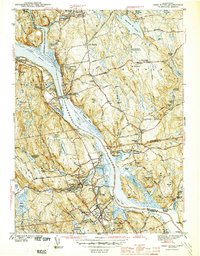
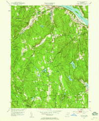
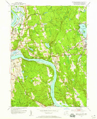
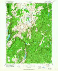
Editions of this 1953 Durham Map
4 editions found
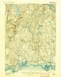
Historical Maps of South Central Connecticut Planning Region Through Time
18 maps found
1893 Guilford
Middlesex County, CT
1893 Saybrook
Middlesex County, CT

1928 Cromwell
Middlesex County, CT

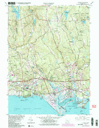
1943 Durham
Middlesex County, CT
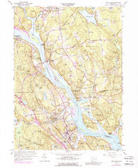
1944 Deep River
Middlesex County, CT
1944 Essex
Middlesex County, CT

1945 Middle Haddam
Middlesex County, CT
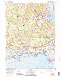
1951 Clinton
Middlesex County, CT
1952 Deep River
Middlesex County, CT
1952 Haddam
Middlesex County, CT
1952 Middle Haddam
Middlesex County, CT
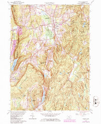
1953 Durham
Middlesex County, CT
1958 Essex
Middlesex County, CT
1961 Clinton
Middlesex County, CT
1961 Deep River
Middlesex County, CT
1961 Haddam
Middlesex County, CT
1961 Middle Haddam
Middlesex County, CT
1964 Durham
Middlesex County, CT