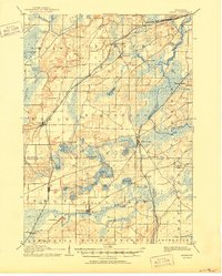
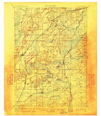
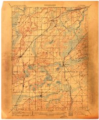
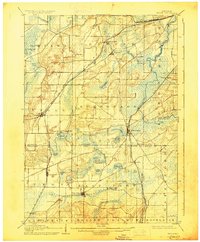
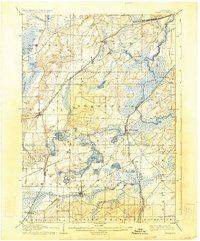
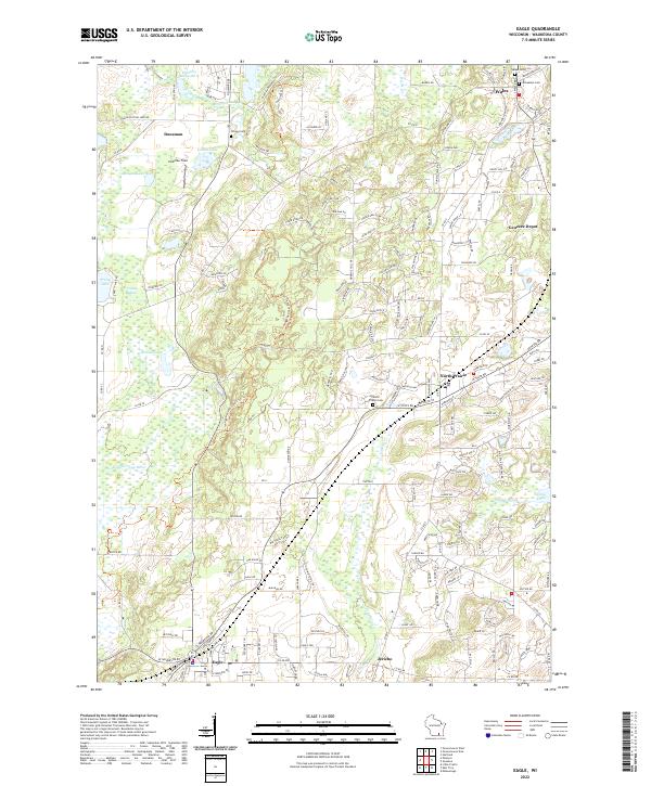
1906 Map of Eagle
USGS Topo · Published 1950About this map
The Fox River and Mukwonago River define the wetlands and glacial lakes of this southeastern Wisconsin landscape at the turn of the century. The map reveals a robust railway network serving the dairy and agricultural heartland, featuring the Chicago Milwaukee And ST. Paul Railroad and the Wisconsin Central Railroad. These lines connect vital hubs like Genesee Depot and North Prairie, while smaller stops such as Vernon Station and Mayhew point to the dispersed nature of local commerce before the rise of modern highways.
Find a feature on this map
52 named features on this map. Tap any name to fly to it.
Don’t see what you’re looking for? This feature index may not catch every label — zoom into the map to look around manually.
Map Details
Editions of this 1906 Eagle Map
6 editions found

Historical Maps of Waukesha Through Time
11 maps found

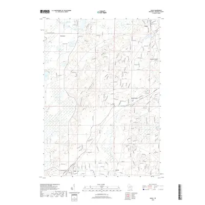
1892 Eagle
Waukesha County, WI

1894 Eagle
Waukesha County, WI

1897 Eagle
Waukesha County, WI
1906 Eagle
Waukesha County, WI
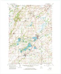
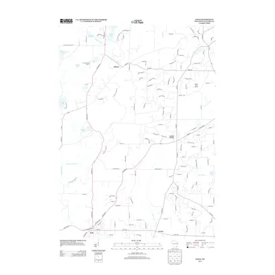
1960 Eagle
Waukesha County, WI
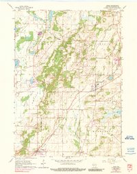
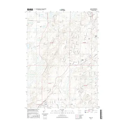
1960 Eagle
Waukesha County, WI
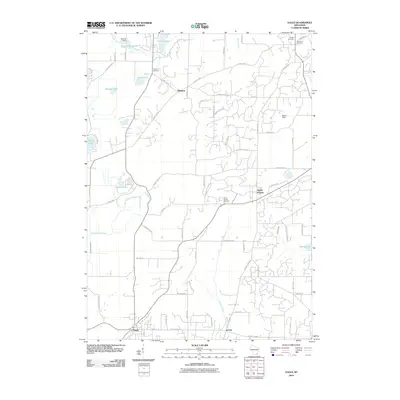
2010 Eagle
Waukesha County, WI
2013 Eagle
Waukesha County, WI
2016 Eagle
Waukesha County, WI
2018 Eagle
Waukesha County, WI
2022 Eagle
Waukesha County, WI