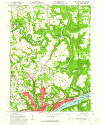
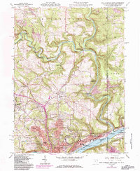
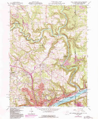
1960 Map of East Liverpool North
USGS Topo · Published 1962About this map
The Ohio River corridor and its surrounding industrial landscapes define this 1960 record of Columbiana County. In East Liverpool, the urban footprint extends through East End and Pleasant Heights, showing the dense street grid and community infrastructure of the era, including Lincoln Sch and B'nai Jacob. North of the city, the winding course of Little Beaver Creek cuts through Beaver Creek State Forest, passing historical crossing points like Grimms Bridge and the small settlement at Fredericktown.
Find a feature on this map
77 named features on this map. Tap any name to fly to it.
Don’t see what you’re looking for? This feature index may not catch every label — zoom into the map to look around manually.
Map Details
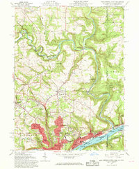
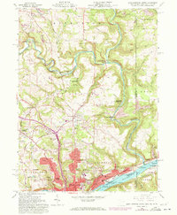
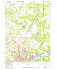
Editions of this 1960 East Liverpool North Map
6 editions found
Other maps of this area

1901 · Beaver
USGS Topo · 1:62,500

1902 · New Castle
USGS Topo · 1:62,500

1904 · Newcastle
USGS Topo · 1:62,500

1904 · Wellsville
USGS Topo · 1:62,500

1904 · Beaver
USGS Topo · 1:62,500

1907 · Columbiana
USGS Topo · 1:62,500

1909 · Columbiana
USGS Topo · 1:62,500

1937 · Wellsville
USGS Topo · 1:62,500

1944 · Wellsville
USGS Topo · 1:62,500

1951 · Canton
USGS Topo · 1:250,000