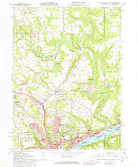
1960 Map of East Liverpool North
USGS Topo · Published 1978About this map
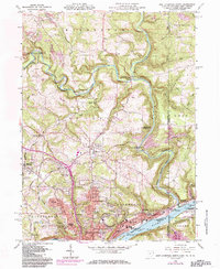
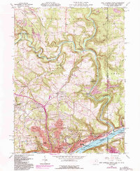
Little Beaver Creek carves a deep valley through the northern hills of East Liverpool, where the Ohio River forms the state boundary. This 1960s survey, with updates from the 1970s, captures the industrial and community character of the tri-state corner. Along the river, the Penn Central rail lines serve the East End and Glasgow, while a historic marker notes the Point of beginning of US Public Land Surveys. The landscape is a mix of heavy extraction and conservation, shown by Strip Mines in the north contrasting with the Beaver Creek State Forest. Numerous legacy institutions are visible, including the Riverview Cemetery, B'nai Jacob Cem, and several neighborhood schools like Taft Sch and Klondyke Sch. From the Drive-in Theater in Calcutta to the remote valley at Fredericktown, the map documents a region defined by its topography and river-based industry.
Find a feature on this map
70 named features on this map. Tap any name to fly to it.
Don’t see what you’re looking for? This feature index may not catch every label — zoom into the map to look around manually.
Map Details
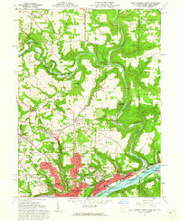
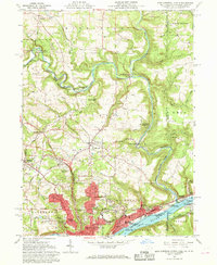
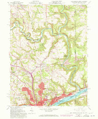
Editions of this 1960 East Liverpool North Map
6 editions found
Other maps of this area

1901 · Beaver
USGS Topo · 1:62,500

1902 · New Castle
USGS Topo · 1:62,500

1904 · Newcastle
USGS Topo · 1:62,500

1904 · Wellsville
USGS Topo · 1:62,500

1904 · Beaver
USGS Topo · 1:62,500

1907 · Columbiana
USGS Topo · 1:62,500

1909 · Columbiana
USGS Topo · 1:62,500

1937 · Wellsville
USGS Topo · 1:62,500

1944 · Wellsville
USGS Topo · 1:62,500

1951 · Canton
USGS Topo · 1:250,000