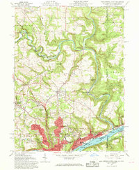
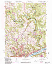
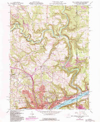
1960 Map of East Liverpool North
USGS Topo · Published 1968About this map
The industrial and riverine character of the Tri-State area is captured in this 1960s study, centered on the ceramic manufacturing hub of East Liverpool. The city's dense urban core, featuring Taft Sch and Lincoln Sch, sits tightly against the north bank of the Ohio River, while neighborhoods like Pleasant Heights and La Croft expand onto the higher ground to the west. A singular historical landmark is noted at the confluence of the river and the state line: the Historic marker Point of beginning of US Public Land Surveys, identifying the 1785 origin of the Seven Ranges.
Find a feature on this map
76 named features on this map. Tap any name to fly to it.
Don’t see what you’re looking for? This feature index may not catch every label — zoom into the map to look around manually.
Map Details
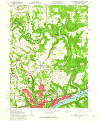
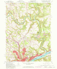
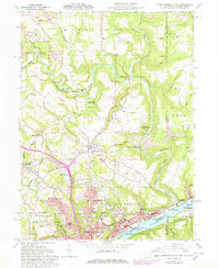
Editions of this 1960 East Liverpool North Map
6 editions found
Other maps of this area

1901 · Beaver
USGS Topo · 1:62,500

1902 · New Castle
USGS Topo · 1:62,500

1904 · Newcastle
USGS Topo · 1:62,500

1904 · Wellsville
USGS Topo · 1:62,500

1904 · Beaver
USGS Topo · 1:62,500

1907 · Columbiana
USGS Topo · 1:62,500

1909 · Columbiana
USGS Topo · 1:62,500

1937 · Wellsville
USGS Topo · 1:62,500

1944 · Wellsville
USGS Topo · 1:62,500

1951 · Canton
USGS Topo · 1:250,000