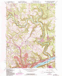
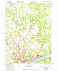
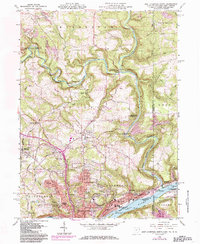
1960 Map of East Liverpool North
USGS Topo · Published 1985About this map
East Liverpool serves as a dense urban and industrial anchor at the meeting of Ohio, Pennsylvania, and West Virginia, bordered by the wide Ohio River. A unique cartographic landmark sits at the tri-state boundary: the Historic marker Point of beginning of US Public Land Surveys, marking the origin of the Geographers Line and the American rectangular survey system. The northern portions of the map reveal a deeply dissected landscape where Little Beaver Creek winds through Beaver Creek State Park, passing the small settlement of Sprucevale.
Find a feature on this map
74 named features on this map. Tap any name to fly to it.
Don’t see what you’re looking for? This feature index may not catch every label — zoom into the map to look around manually.
Map Details
Editions of this 1960 East Liverpool North Map
6 editions found
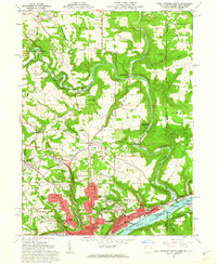
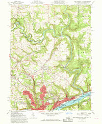
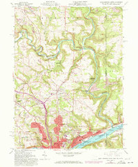
Other maps of this area

1901 · Beaver
USGS Topo · 1:62,500

1902 · New Castle
USGS Topo · 1:62,500

1904 · Newcastle
USGS Topo · 1:62,500

1904 · Wellsville
USGS Topo · 1:62,500

1904 · Beaver
USGS Topo · 1:62,500

1907 · Columbiana
USGS Topo · 1:62,500

1909 · Columbiana
USGS Topo · 1:62,500

1937 · Wellsville
USGS Topo · 1:62,500

1944 · Wellsville
USGS Topo · 1:62,500

1951 · Canton
USGS Topo · 1:250,000