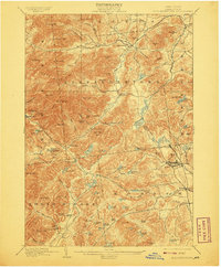
1901 Map of Elizabethtown
USGS Topo · Published 1908About this map
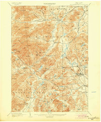
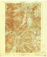
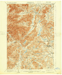
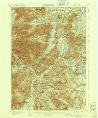
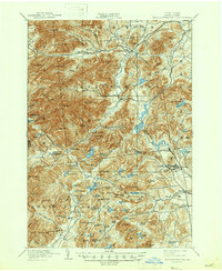
The Boquet River valley anchors this 1892 survey, which captures the industrial and agricultural landscape of eastern Essex County at the turn of the century. The village of Elizabethtown serves as the focal point, surrounded by a high-altitude wilderness of the Adirondack High Peaks including Giant Mtn. and Hurricane Mtn.. This era reflects the peak of the regional iron mining industry, most evident in the concentrated settlement and infrastructure at Mineville and the route of the L. C. & M. R. R. leading toward the lake. Small mill sites and mountain hamlets like Euba Mills, New Russia, and Underwood are situated along the river forks, providing a detailed record of late-19th-century upland settlement. The map reveals a high density of named ponds and brooks, such as Deadwater Pond and Ash Craft Brook, that supported the local timber and tanning industries before much of this land became protected forest.
Find a feature on this map
112 named features on this map. Tap any name to fly to it.
Don’t see what you’re looking for? This feature index may not catch every label — zoom into the map to look around manually.
Map Details
Editions of this 1901 Elizabethtown Map
9 editions found

Other maps of this area

1894 · Elizabethtown
USGS Topo · 1:62,500

1894 · Port Henry
USGS Topo · 1:62,500

1894 · Ticonderoga
USGS Topo · 1:62,500

1895 · Willsboro
USGS Topo · 1:62,500

1895 · Elizabethtown
USGS Topo · 1:62,500

1895 · Mt. Marcy
USGS Topo · 1:62,500

1895 · Ausable
USGS Topo · 1:62,500

1895 · Paradox Lake
USGS Topo · 1:62,500

1896 · Lake Placid
USGS Topo · 1:62,500

1896 · Ticonderoga
USGS Topo · 1:62,500