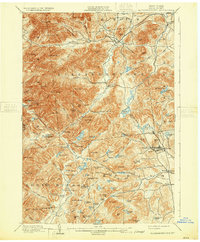
1901 Map of Elizabethtown
USGS Topo · Published 1931About this map
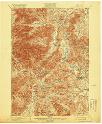
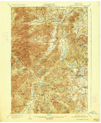
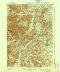
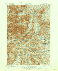
The Boquet River valley serves as the central axis for this turn-of-the-century survey, anchoring the village of Elizabethtown. This landscape transitions from the rugged heights of Hurricane Mtn. and Giant Mtn. in the west to the industrial pocket of the Moriah hills in the east. The extraction economy of the era is evident in the dense settlement patterns at Mineville and Witherbee, which are connected to the broader region by the L.C. & M. R.R. rail line. Beyond the industrial sites, the map reveals a network of mountain hamlets like New Russia and Euba Mills, alongside early conservation areas such as the Adirondack Mountain Reserve. This document captures the Essex County interior before modern highway development, preserving the locations of numerous family-named landmarks and water bodies like Lincoln Pond and the Split Rock Falls that defined local geography at the time of E.C. Barnard's topography work.
Find a feature on this map
125 named features on this map. Tap any name to fly to it.
Don’t see what you’re looking for? This feature index may not catch every label — zoom into the map to look around manually.
Map Details
Editions of this 1901 Elizabethtown Map
9 editions found

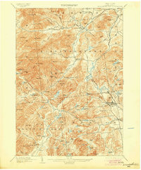
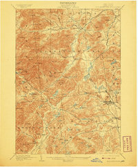
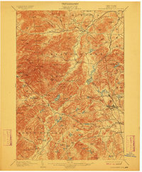
Other maps of this area

1894 · Elizabethtown
USGS Topo · 1:62,500

1894 · Port Henry
USGS Topo · 1:62,500

1894 · Ticonderoga
USGS Topo · 1:62,500

1895 · Willsboro
USGS Topo · 1:62,500

1895 · Elizabethtown
USGS Topo · 1:62,500

1895 · Mt. Marcy
USGS Topo · 1:62,500

1895 · Ausable
USGS Topo · 1:62,500

1895 · Paradox Lake
USGS Topo · 1:62,500

1896 · Lake Placid
USGS Topo · 1:62,500

1896 · Ticonderoga
USGS Topo · 1:62,500