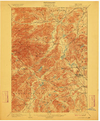
1901 Map of Elizabethtown
USGS Topo · Published 1912About this map
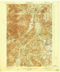
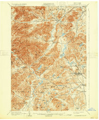
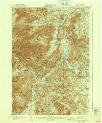
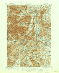
Elizabethtown serves as the central hub in this high-altitude landscape of the eastern Adirondacks, where the Bouquet River carves a deep valley through towering peaks like Hurricane Mtn. and Giant Mtn.. The map illustrates a late nineteenth-century economy balanced between the wilderness and industrial extraction. In the southeast, the iron mining center of Mineville is connected to the wider world by the L.C. & M. R.R., while smaller hamlets like Moriah Center and New Russia sit at the intersections of rugged mountain roads. Significant water features and landmarks, including the notable Split Rock Falls and Lincoln Pond, define the drainage patterns of the Bouquet River and its numerous tributaries. This survey captures a moment when the region was primarily defined by its timber and mineral resources, just as recreation began to take hold in places like Underwood and Euba Mills.
Find a feature on this map
112 named features on this map. Tap any name to fly to it.
Don’t see what you’re looking for? This feature index may not catch every label — zoom into the map to look around manually.
Map Details
Editions of this 1901 Elizabethtown Map
9 editions found

Other maps of this area

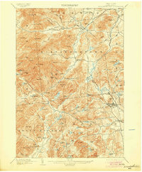
1894 · Elizabethtown
USGS Topo · 1:62,500

1894 · Port Henry
USGS Topo · 1:62,500

1894 · Ticonderoga
USGS Topo · 1:62,500

1895 · Willsboro
USGS Topo · 1:62,500

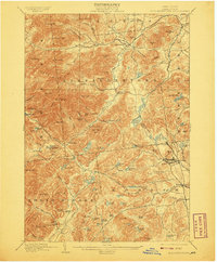
1895 · Elizabethtown
USGS Topo · 1:62,500

1895 · Mt. Marcy
USGS Topo · 1:62,500

1895 · Ausable
USGS Topo · 1:62,500

1895 · Paradox Lake
USGS Topo · 1:62,500

1896 · Lake Placid
USGS Topo · 1:62,500

1896 · Ticonderoga
USGS Topo · 1:62,500