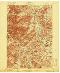
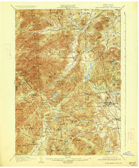
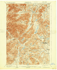
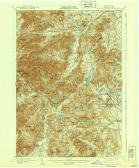
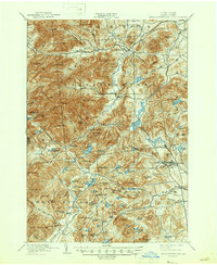
1901 Map of Elizabethtown
USGS Topo · Published 1920About this map
The Bouquet River valley anchors this mountain landscape, serving as the primary corridor for settlement and transit through the Green Mountains. Elizabethtown stands as the central hub in the north, while the southeastern corner reveals a different character shaped by industrial activity. Here, the L. C. & M. R. R. serves the high-elevation community of Mineville and nearby Moriah Center, highlighting the region's historical reliance on mineral extraction and rail transport.
Find a feature on this map
120 named features on this map. Tap any name to fly to it.
Don’t see what you’re looking for? This feature index may not catch every label — zoom into the map to look around manually.
Map Details
Editions of this 1901 Elizabethtown Map
9 editions found

Other maps of this area

1894 · Elizabethtown
USGS Topo · 1:62,500

1894 · Port Henry
USGS Topo · 1:62,500

1894 · Ticonderoga
USGS Topo · 1:62,500

1895 · Willsboro
USGS Topo · 1:62,500

1895 · Elizabethtown
USGS Topo · 1:62,500

1895 · Mt. Marcy
USGS Topo · 1:62,500

1895 · Ausable
USGS Topo · 1:62,500

1895 · Paradox Lake
USGS Topo · 1:62,500

1896 · Lake Placid
USGS Topo · 1:62,500

1896 · Ticonderoga
USGS Topo · 1:62,500