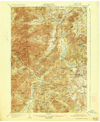
1901 Map of Elizabethtown
USGS Topo · Published 1926About this map
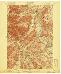
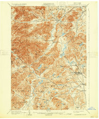
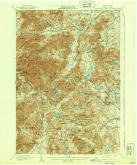
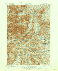
Elizabethtown and the surrounding Adirondack high country are captured here at the turn of the century, showing a landscape defined by sharp peaks and the nascent iron industry. The eastern edge of the map features the industrial centers of Mineville and Witherbee, where the L.C. & M. R.R. connects the mining operations to the wider rail network. Much of the western terrain falls within the Adirondack Reserve, dominated by massive summits like Hurricane Mtn. and Giant Mtn..
Find a feature on this map
122 named features on this map. Tap any name to fly to it.
Don’t see what you’re looking for? This feature index may not catch every label — zoom into the map to look around manually.
Map Details
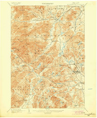
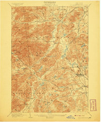
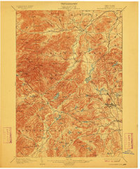
Editions of this 1901 Elizabethtown Map
9 editions found

Other maps of this area

1894 · Elizabethtown
USGS Topo · 1:62,500

1894 · Port Henry
USGS Topo · 1:62,500

1894 · Ticonderoga
USGS Topo · 1:62,500

1895 · Willsboro
USGS Topo · 1:62,500

1895 · Elizabethtown
USGS Topo · 1:62,500

1895 · Mt. Marcy
USGS Topo · 1:62,500

1895 · Ausable
USGS Topo · 1:62,500

1895 · Paradox Lake
USGS Topo · 1:62,500

1896 · Lake Placid
USGS Topo · 1:62,500

1896 · Ticonderoga
USGS Topo · 1:62,500