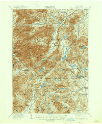
1901 Map of Elizabethtown
USGS Topo · Published 1947About this map
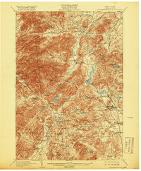
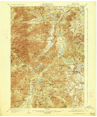
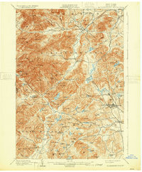
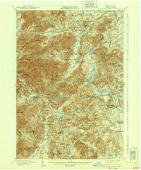
Elizabethtown and the high peaks of the eastern Adirondacks define this 1892 survey, which captures the region before the widespread modernization of the mid-20th century. The landscape is dominated by massive elevations like Hurricane Mtn and Giant Mtn, but the human geography is most evident in the industrial pockets of Moriah and Mineville. In the southeast, the iron-rich hills are threaded by the L. C. & M. R. R., serving the mining communities of Witherbee and Moriah Center.
Find a feature on this map
123 named features on this map. Tap any name to fly to it.
Don’t see what you’re looking for? This feature index may not catch every label — zoom into the map to look around manually.
Map Details
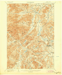
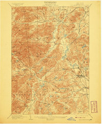
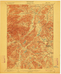
Editions of this 1901 Elizabethtown Map
9 editions found

Other maps of this area

1894 · Elizabethtown
USGS Topo · 1:62,500

1894 · Port Henry
USGS Topo · 1:62,500

1894 · Ticonderoga
USGS Topo · 1:62,500

1895 · Willsboro
USGS Topo · 1:62,500

1895 · Elizabethtown
USGS Topo · 1:62,500

1895 · Mt. Marcy
USGS Topo · 1:62,500

1895 · Ausable
USGS Topo · 1:62,500

1895 · Paradox Lake
USGS Topo · 1:62,500

1896 · Lake Placid
USGS Topo · 1:62,500

1896 · Ticonderoga
USGS Topo · 1:62,500