
1901 Map of Elizabethtown
USGS Topo · Published 1901About this map
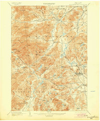
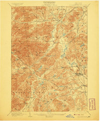
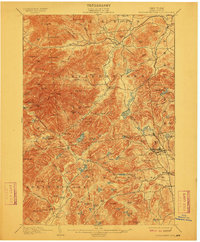
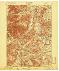
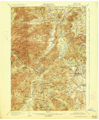
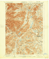
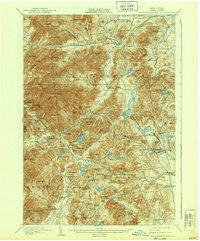
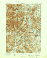
Elizabethtown serves as the focal point of this Adirondack mountain landscape, situated at the confluence of The Branch and the Bouquet River. The topography is dominated by high peaks and ridges, including the prominent Hurricane Mtn and Giant Mtn, which define the upper reaches of the Pleasant Valley River. To the east, the landscape shifts toward industrial and mining activity, particularly around Mineville and the Moriah area. This eastern section is served by the L. C. & M. R. R. railroad, signaling the importance of mineral extraction in the late 19th-century local economy.
Find a feature on this map
103 named features on this map. Tap any name to fly to it.
Don’t see what you’re looking for? This feature index may not catch every label — zoom into the map to look around manually.
Map Details
Editions of this 1901 Elizabethtown Map
9 editions found
Other maps of this area

1894 · Elizabethtown
USGS Topo · 1:62,500

1894 · Port Henry
USGS Topo · 1:62,500

1894 · Ticonderoga
USGS Topo · 1:62,500

1895 · Willsboro
USGS Topo · 1:62,500

1895 · Elizabethtown
USGS Topo · 1:62,500

1895 · Mt. Marcy
USGS Topo · 1:62,500

1895 · Ausable
USGS Topo · 1:62,500

1895 · Paradox Lake
USGS Topo · 1:62,500

1896 · Lake Placid
USGS Topo · 1:62,500

1896 · Ticonderoga
USGS Topo · 1:62,500