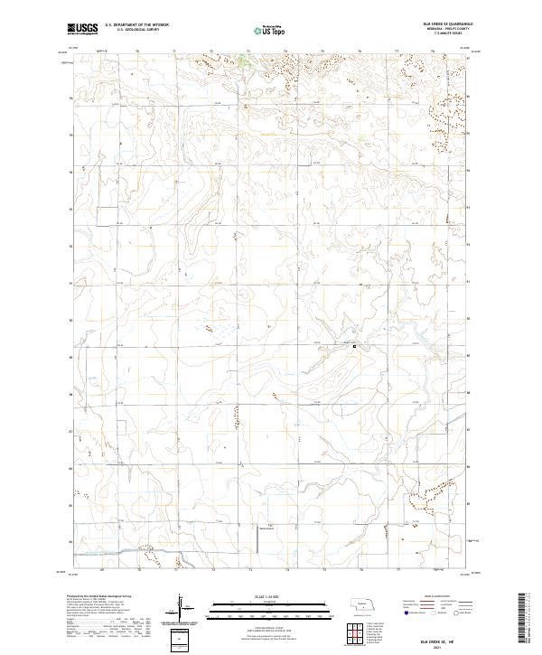
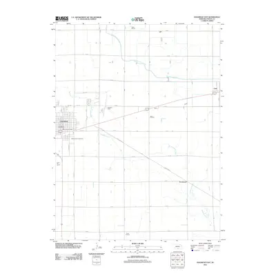
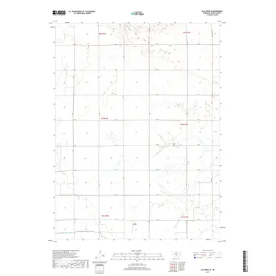
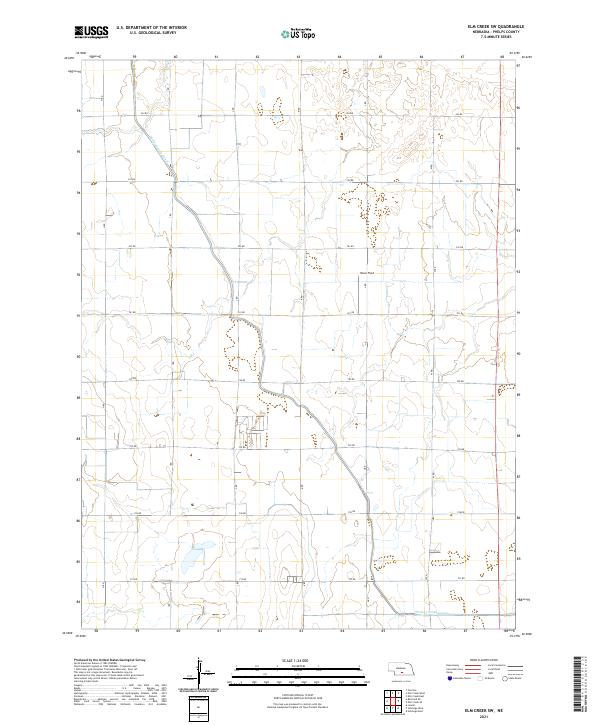
2021 Map of Elm Creek SE
USGS Topo · Published 2021About this map
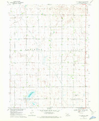
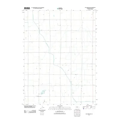
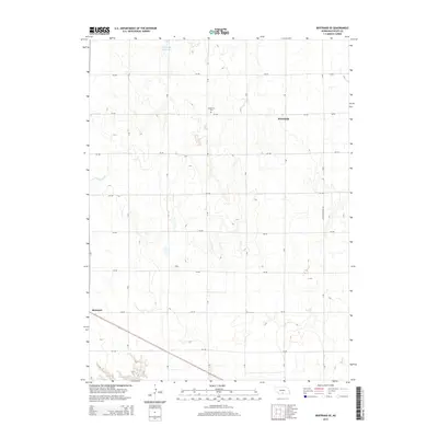
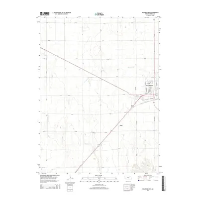
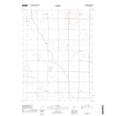
Agricultural lands in the Platte River valley define this 2021 survey of Phelps County. The landscape is structured by a precise grid of rural roads, including 741 Rd and S Rd, which facilitate the region's intensive farming operations. A significant hydrological feature is the Phelps County Canal in the southwest, part of a larger irrigation network vital to Nebraska's high plains agriculture. Local history and genealogy are anchored at Magill Cem, while modern transportation is represented by Wells Airport and the prominent Funk-Odessa Rd. The area is also drained by the intermittent waterway of N Dry Cr, which cuts through the township sections of t7n r17w.
Find a feature on this map
25 named features on this map. Tap any name to fly to it.
Don’t see what you’re looking for? This feature index may not catch every label — zoom into the map to look around manually.
Map Details
Editions of this 2021 Elm Creek SE Map
This is the sole edition of this map. No revisions or reprints were ever made.
Historical Maps of Phelps County Through Time
35 maps found
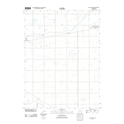
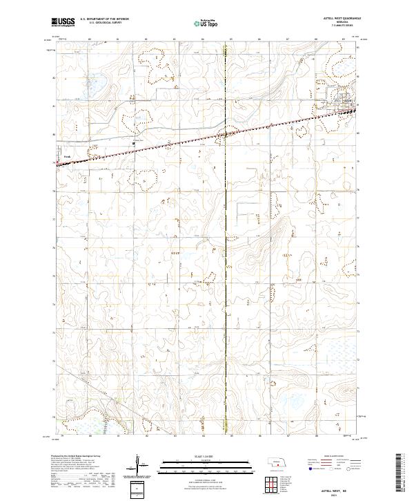
1970 Axtell West
Phelps County, NE
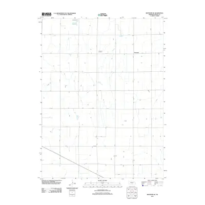
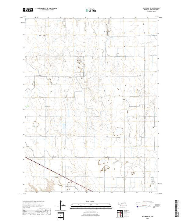
1970 Bertrand SE
Phelps County, NE
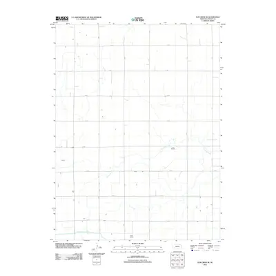
1970 Elm Creek SE
Phelps County, NE
1970 Elm Creek SW
Phelps County, NE
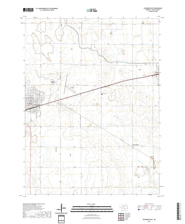
1970 Holdrege East
Phelps County, NE
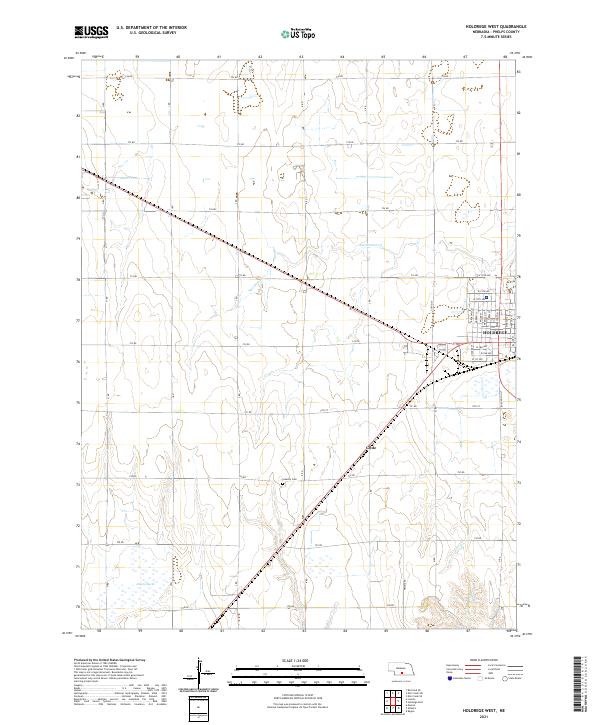
1970 Holdrege West
Phelps County, NE
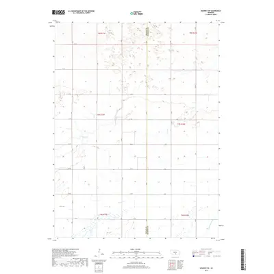
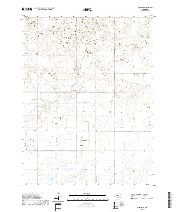
1970 Kearney SW
Phelps County, NE
2011 Axtell West
Phelps County, NE
2011 Bertrand SE
Phelps County, NE
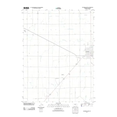
2011 Elm Creek SE
Phelps County, NE
2011 Elm Creek SW
Phelps County, NE
2011 Holdrege East
Phelps County, NE
2011 Holdrege West
Phelps County, NE
2011 Kearney SW
Phelps County, NE
2014 Axtell West
Phelps County, NE
2014 Bertrand SE
Phelps County, NE
2014 Elm Creek SE
Phelps County, NE
2014 Elm Creek SW
Phelps County, NE
2014 Holdrege East
Phelps County, NE
2014 Holdrege West
Phelps County, NE
2014 Kearney SW
Phelps County, NE
2017 Axtell West
Phelps County, NE
2017 Bertrand SE
Phelps County, NE
2017 Elm Creek SE
Phelps County, NE
2017 Elm Creek SW
Phelps County, NE
2017 Holdrege East
Phelps County, NE
2017 Holdrege West
Phelps County, NE
2017 Kearney SW
Phelps County, NE
2021 Axtell West
Phelps County, NE
2021 Bertrand SE
Phelps County, NE
2021 Elm Creek SE
Phelps County, NE
2021 Elm Creek SW
Phelps County, NE
2021 Holdrege East
Phelps County, NE
2021 Holdrege West
Phelps County, NE
2021 Kearney SW
Phelps County, NE