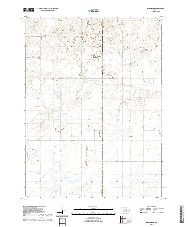
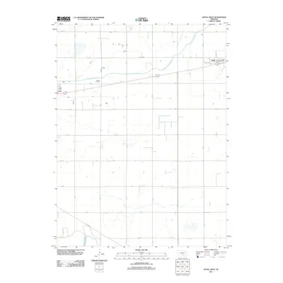
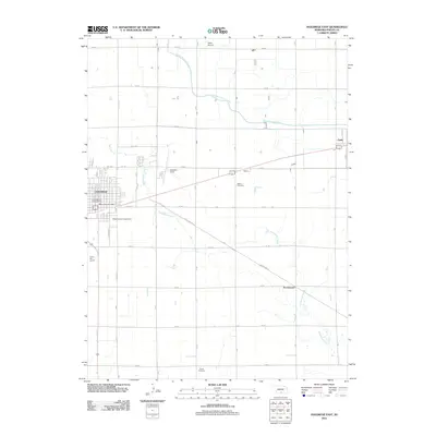
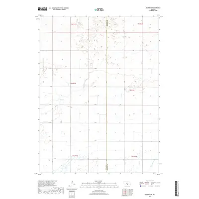
2021 Map of Kearney SW
USGS Topo · Published 2021About this map
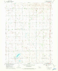
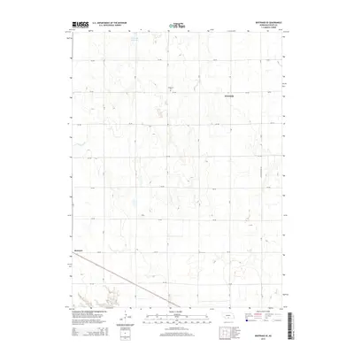
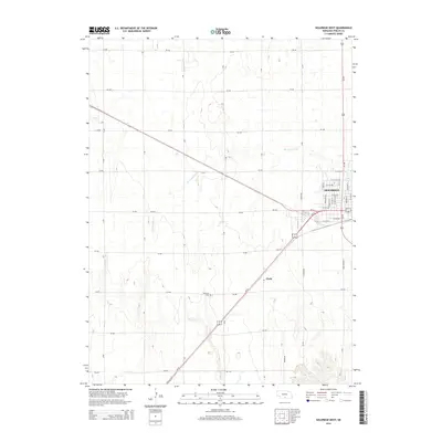
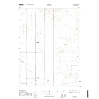
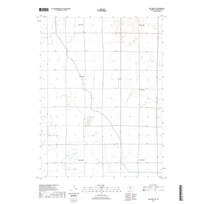
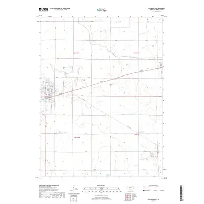
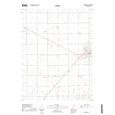
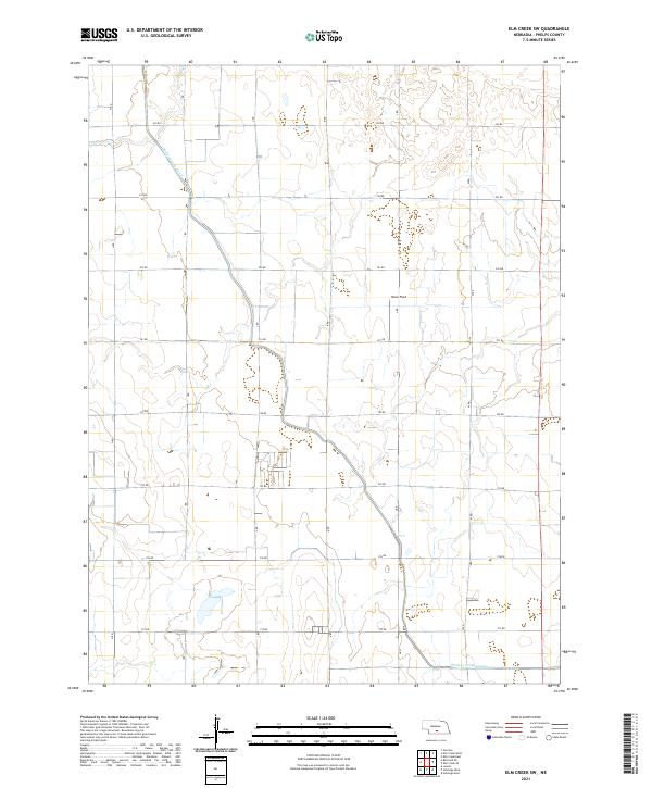
Phelps Co Kearney Co marks the central boundary of this agricultural landscape, where the survey captures a sparse but precisely gridded network of rural transit. The terrain is defined by its intermittent drainage patterns, most notably the seasonal flow of Lost Cr and Dry Cr, which meander through the township lines of t7n r16w and t7n r17w. Unlike more densely settled areas, this portion of the Nebraska plains is organized around a strict section-line road system including 744 Rd and M Rd, reflecting a landscape built for large-scale farming rather than concentrated town centers. Researchers can trace the exact divisions of the Public Land Survey System as they intersect with the natural creek beds that served as vital water sources for early homesteaders and livestock in this portion of the Platte River valley watershed.
Find a feature on this map
24 named features on this map. Tap any name to fly to it.
Don’t see what you’re looking for? This feature index may not catch every label — zoom into the map to look around manually.
Map Details
Editions of this 2021 Kearney SW Map
This is the sole edition of this map. No revisions or reprints were ever made.
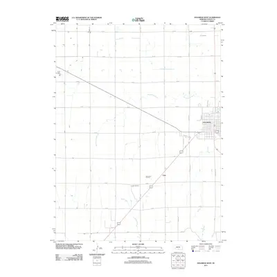
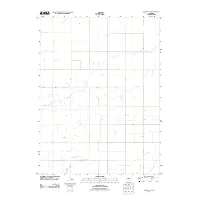
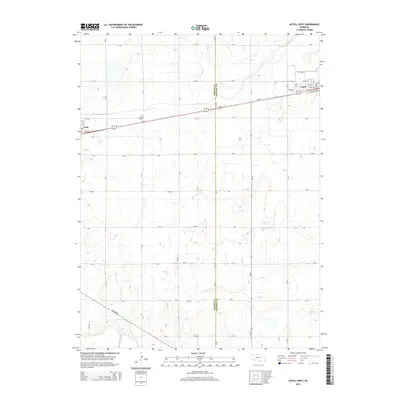
Historical Maps of Kearney County Through Time
35 maps found
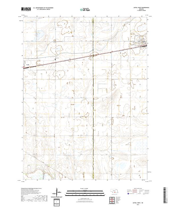
1970 Axtell West
Phelps County, NE
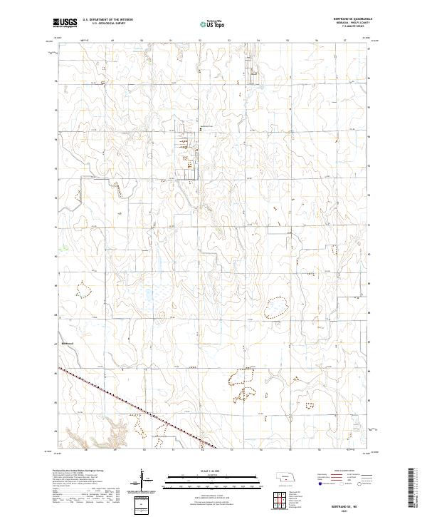
1970 Bertrand SE
Phelps County, NE
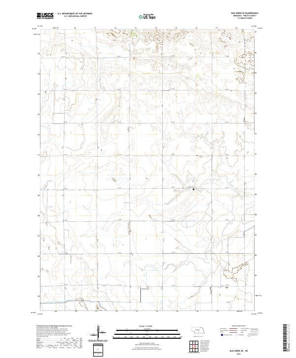
1970 Elm Creek SE
Phelps County, NE
1970 Elm Creek SW
Phelps County, NE
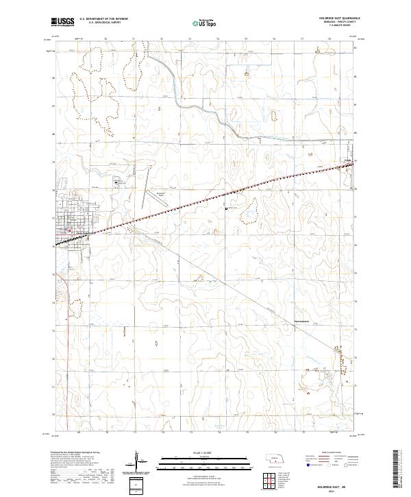
1970 Holdrege East
Phelps County, NE
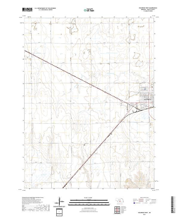
1970 Holdrege West
Phelps County, NE
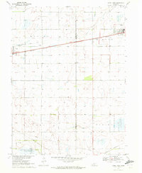
1970 Kearney SW
Phelps County, NE
2011 Axtell West
Phelps County, NE
2011 Bertrand SE
Phelps County, NE
2011 Elm Creek SE
Phelps County, NE
2011 Elm Creek SW
Phelps County, NE
2011 Holdrege East
Phelps County, NE
2011 Holdrege West
Phelps County, NE
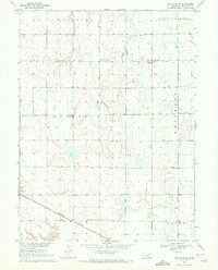
2011 Kearney SW
Phelps County, NE
2014 Axtell West
Phelps County, NE
2014 Bertrand SE
Phelps County, NE
2014 Elm Creek SE
Phelps County, NE
2014 Elm Creek SW
Phelps County, NE
2014 Holdrege East
Phelps County, NE
2014 Holdrege West
Phelps County, NE
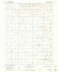
2014 Kearney SW
Phelps County, NE
2017 Axtell West
Phelps County, NE
2017 Bertrand SE
Phelps County, NE
2017 Elm Creek SE
Phelps County, NE
2017 Elm Creek SW
Phelps County, NE
2017 Holdrege East
Phelps County, NE
2017 Holdrege West
Phelps County, NE
2017 Kearney SW
Phelps County, NE
2021 Axtell West
Phelps County, NE
2021 Bertrand SE
Phelps County, NE
2021 Elm Creek SE
Phelps County, NE
2021 Elm Creek SW
Phelps County, NE
2021 Holdrege East
Phelps County, NE
2021 Holdrege West
Phelps County, NE
2021 Kearney SW
Phelps County, NE