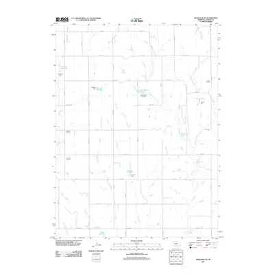
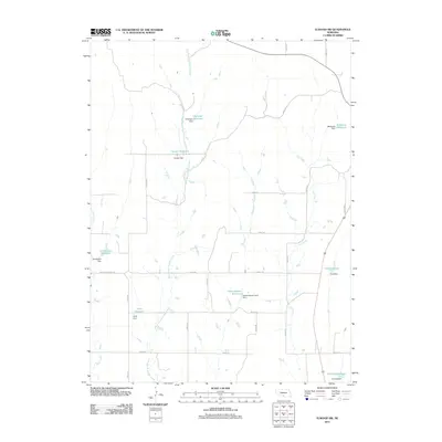
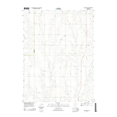
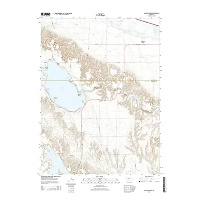
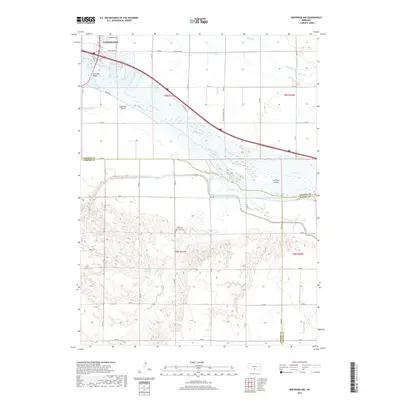
1971 Map of Elwood NW
USGS Topo · Published 1983About this map
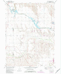
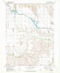
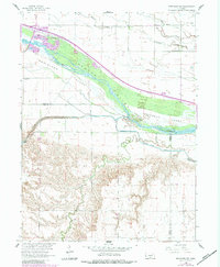
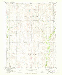
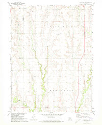
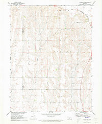
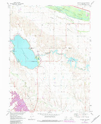
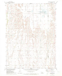
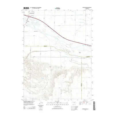
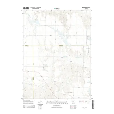
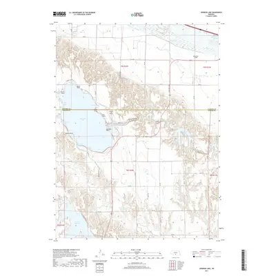
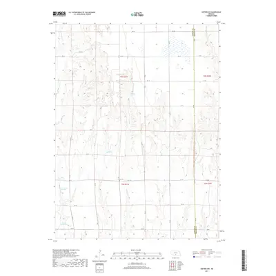
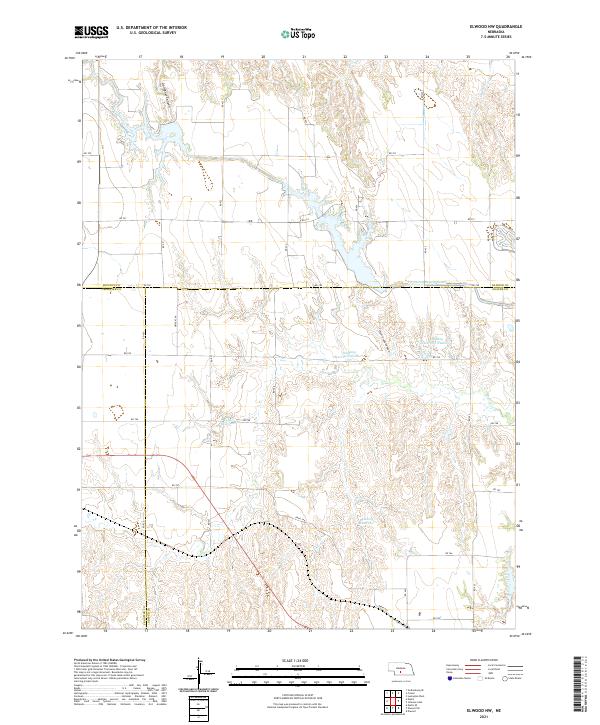
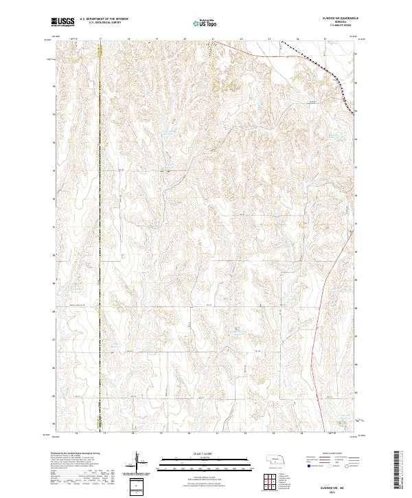
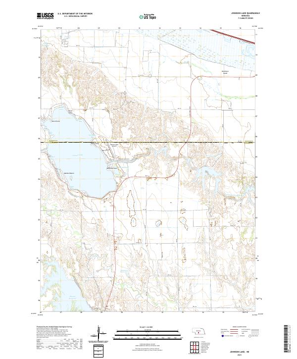
Gallagher Canyon State Recreation Area and the intricate engineering of the Tri County Supply Canal define this Nebraska landscape during the early 1970s. This survey, conducted for the Department of the Interior's Missouri River Basin development program, shows a region heavily shaped by water management and transit. The Burlington Northern railroad cuts through the southern portion of the quadrangle, running parallel to the winding course of Plum Creek. Significant water bodies like Gallagher Canyon Lake and the northern tip of Johnson Lake illustrate the area's dual role as a utility corridor and a recreational hub. Further south, the Elwood Reservoir sits amidst the deeply eroded terrain of Plum Creek Canyon, demonstrating how local topography was leveraged for large-scale water storage and land management.
Find a feature on this map
14 named features on this map. Tap any name to fly to it.
Don’t see what you’re looking for? This feature index may not catch every label — zoom into the map to look around manually.
Map Details
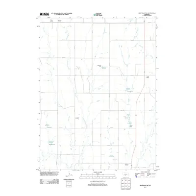
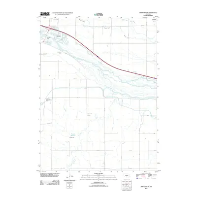
Editions of this 1971 Elwood NW Map
2 editions found
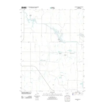
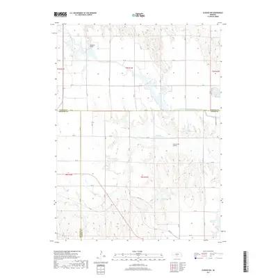
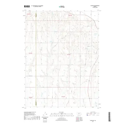
Historical Maps of Dawson County Through Time
35 maps found
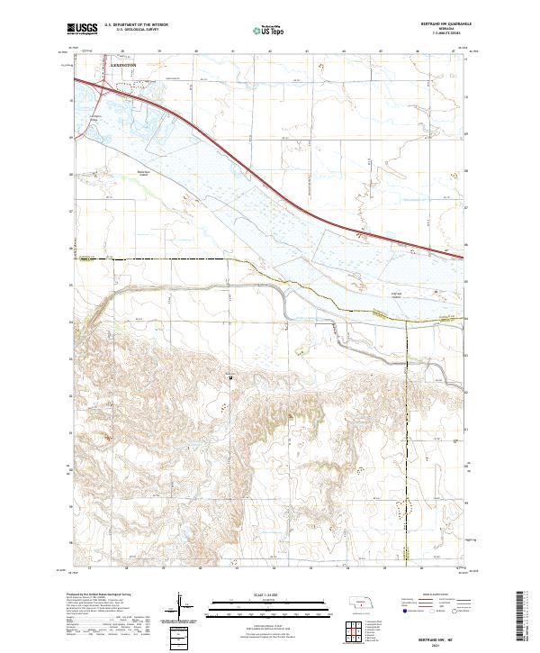
1962 Bertrand NW
Gosper County, NE
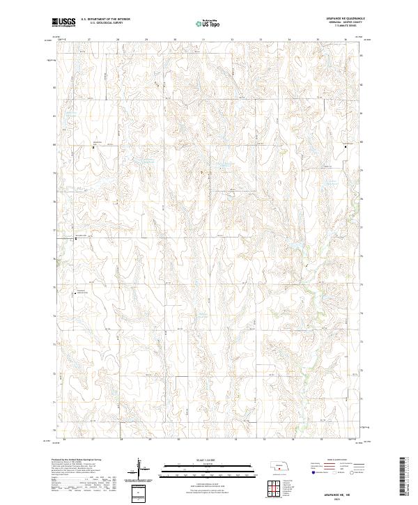
1971 Arapahoe NE
Gosper County, NE
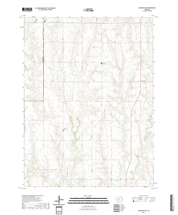
1971 Arapahoe NW
Gosper County, NE
1971 Elwood NW
Gosper County, NE
1971 Elwood SW
Gosper County, NE
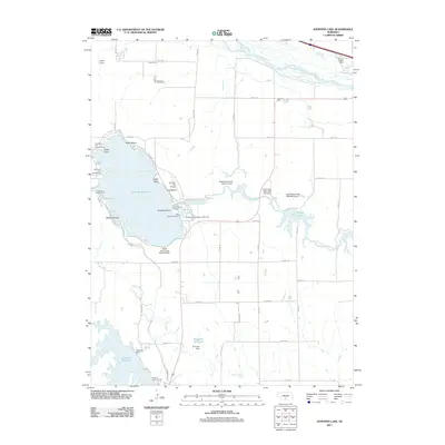
1971 Johnson Lake
Gosper County, NE
1971 Oxford NW
Gosper County, NE
2011 Arapahoe NE
Gosper County, NE
2011 Arapahoe NW
Gosper County, NE
2011 Bertrand NW
Gosper County, NE
2011 Elwood NW
Gosper County, NE
2011 Elwood SW
Gosper County, NE
2011 Johnson Lake
Gosper County, NE
2011 Oxford NW
Gosper County, NE
2014 Arapahoe NE
Gosper County, NE
2014 Arapahoe NW
Gosper County, NE
2014 Bertrand NW
Gosper County, NE
2014 Elwood NW
Gosper County, NE
2014 Elwood SW
Gosper County, NE
2014 Johnson Lake
Gosper County, NE
2014 Oxford NW
Gosper County, NE
2017 Arapahoe NE
Gosper County, NE
2017 Arapahoe NW
Gosper County, NE
2017 Bertrand NW
Gosper County, NE
2017 Elwood NW
Gosper County, NE
2017 Elwood SW
Gosper County, NE
2017 Johnson Lake
Gosper County, NE
2017 Oxford NW
Gosper County, NE
2021 Arapahoe NE
Gosper County, NE
2021 Arapahoe NW
Gosper County, NE
2021 Bertrand NW
Gosper County, NE
2021 Elwood NW
Gosper County, NE
2021 Elwood SW
Gosper County, NE
2021 Johnson Lake
Gosper County, NE
2021 Oxford NW
Gosper County, NE