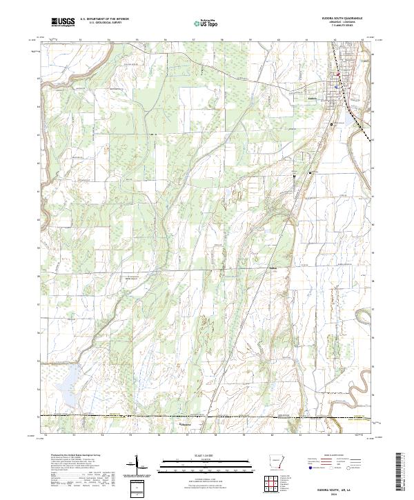
2024 Map of Eudora South
USGS Topo · Published 2024About this map
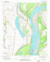
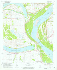
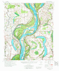
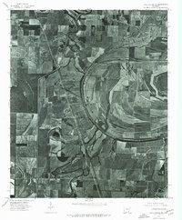
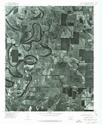
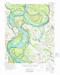
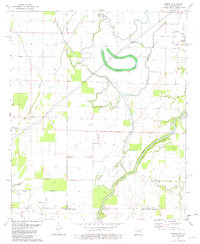
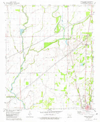
Eudora serves as the primary hub in this corner of Chicot County, where the southern edge of Arkansas meets the Louisiana state line. The landscape is defined by its intricate drainage network, with Bayou Macon and Boeuf River carving through the agricultural flats. This terrain is marked by a legacy of family and community burial grounds, including Mount Carmel Cem, Masons Cem, and Hill Cem, which offer significant touchpoints for genealogical research in the region.
Find a feature on this map
88 named features on this map. Tap any name to fly to it.
Don’t see what you’re looking for? This feature index may not catch every label — zoom into the map to look around manually.
Map Details
Editions of this 2024 Eudora South Map
This is the sole edition of this map. No revisions or reprints were ever made.
Historical Maps of Indian Through Time
24 maps found

1933 Lamont
Chicot County, AR
1939 Readland
Chicot County, AR
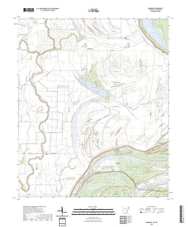
1970 Eminence
Chicot County, AR
1970 Luna
Chicot County, AR
1970 Readland
Chicot County, AR
1970 Red Leaf
Chicot County, AR
1972 Readland
Chicot County, AR
1975 Lake Village NE
Chicot County, AR
1975 Lake Village NW
Chicot County, AR
1977 Lamont
Chicot County, AR
1981 Empire
Chicot County, AR
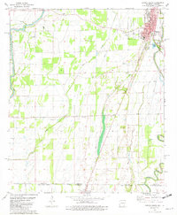
1981 Eudora North
Chicot County, AR
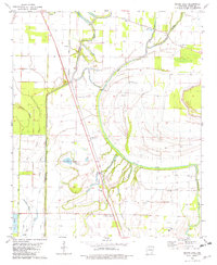
1981 Eudora NW
Chicot County, AR
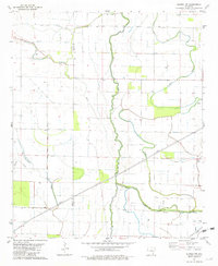
1981 Eudora South
Chicot County, AR
1981 Macon Lake
Chicot County, AR
2024 Eminence
Chicot County, AR
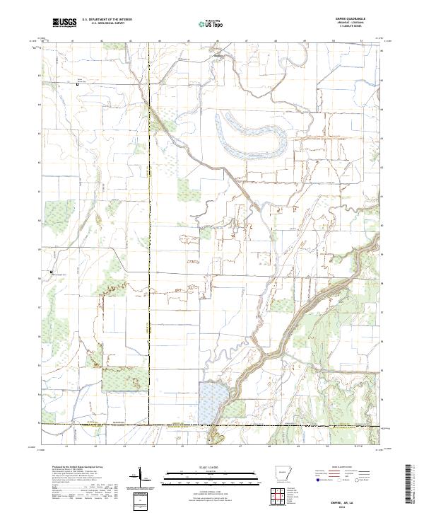
2024 Empire
Chicot County, AR
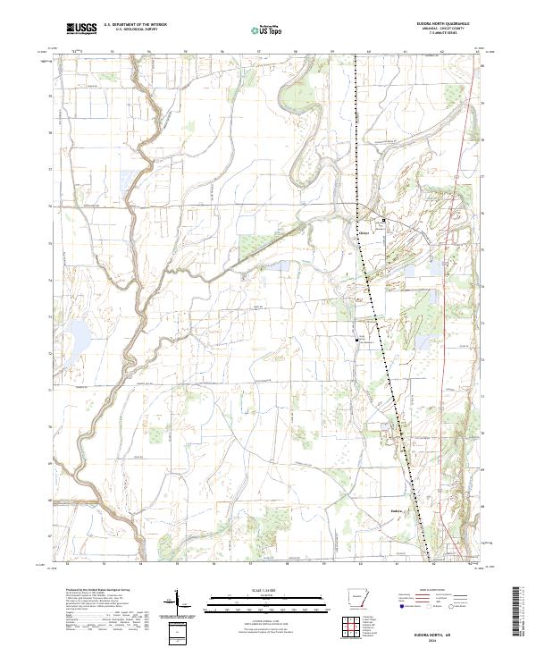
2024 Eudora North
Chicot County, AR
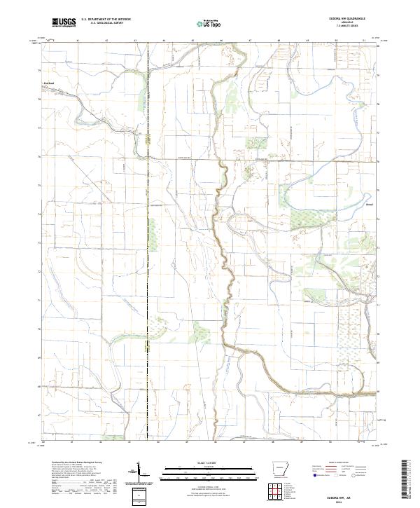
2024 Eudora NW
Chicot County, AR
2024 Eudora South
Chicot County, AR
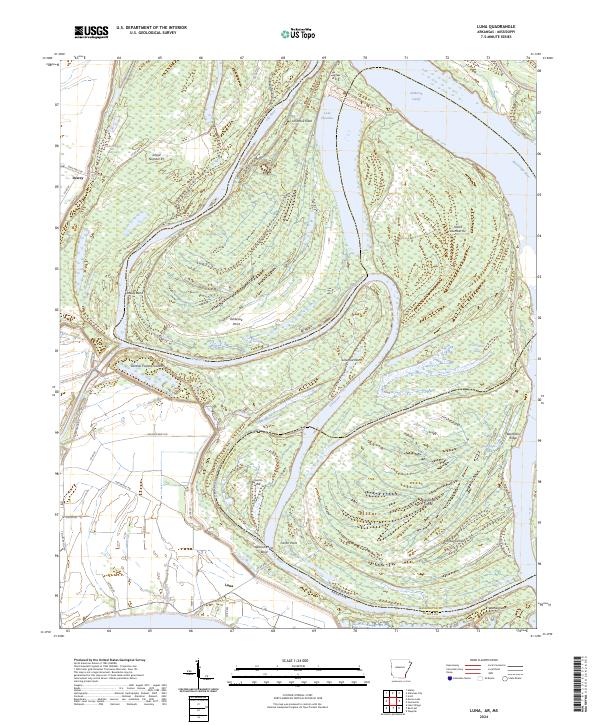
2024 Luna
Chicot County, AR
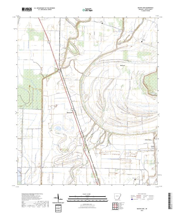
2024 Macon Lake
Chicot County, AR
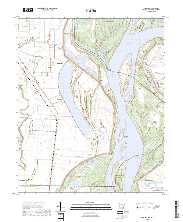
2024 Readland
Chicot County, AR
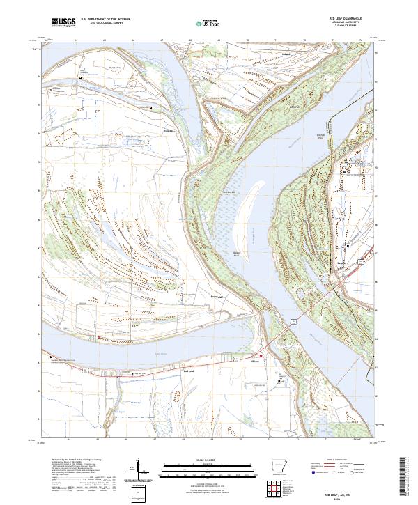
2024 Red Leaf
Chicot County, AR