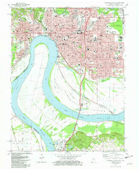
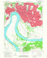
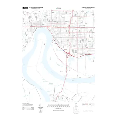
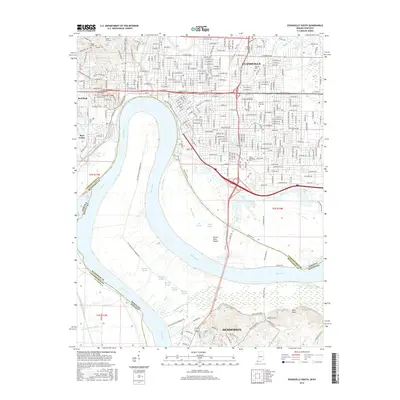
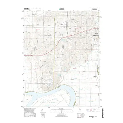
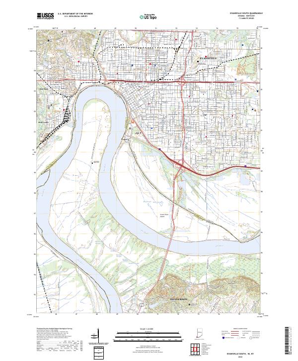
1981 Map of Evansville South
USGS Topo · Published 1982About this map
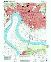
Evansville occupies a prominent bend in the Ohio River, where the urban landscape of Indiana meets the agricultural bottomlands of Kentucky. This survey captures a dense regional hub defined by its institutions, from the sprawling campus of Evansville University to the Evansville State Hospital and major medical centers like Deaconess Hospital. The riverfront is heavily industrialized and networked by rail lines, including the Conrail and Louisville and Nashville systems, which service the filtration plants and sewage disposal facilities along the banks.
Find a feature on this map
94 named features on this map. Tap any name to fly to it.
Don’t see what you’re looking for? This feature index may not catch every label — zoom into the map to look around manually.
Map Details
Editions of this 1981 Evansville South Map
2 editions found
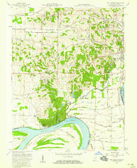
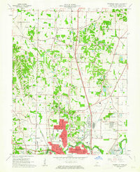
Historical Maps of Evansville Through Time
29 maps found
1957 Evansville South
Vanderburgh County, IN
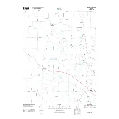
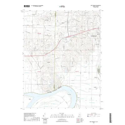
1957 West Franklin
Vanderburgh County, IN
1961 Evansville North
Vanderburgh County, IN
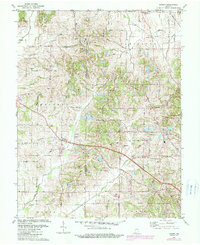
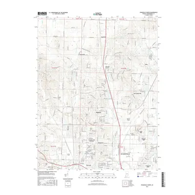
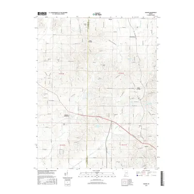
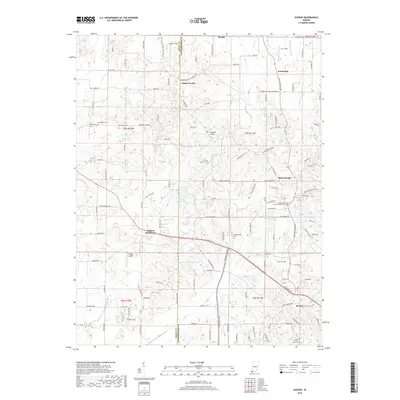
1961 Kasson
Vanderburgh County, IN
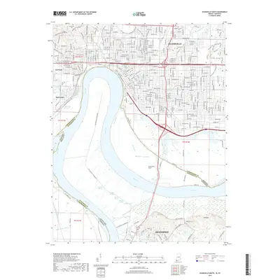
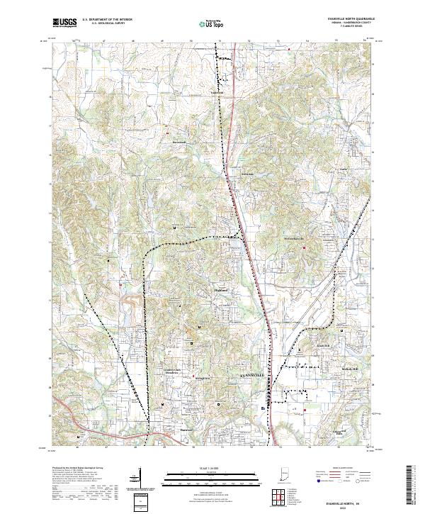
1981 Evansville North
Vanderburgh County, IN
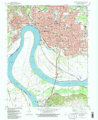
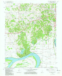
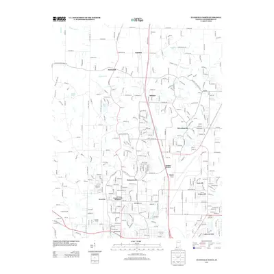
1981 Evansville South
Vanderburgh County, IN
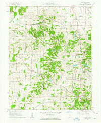
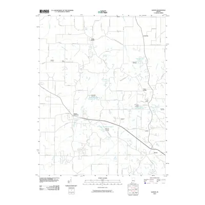
1981 Kasson
Vanderburgh County, IN
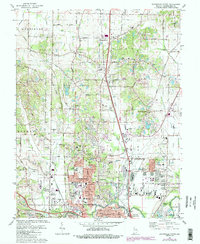
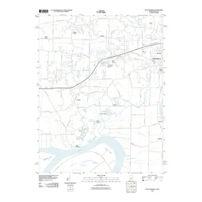
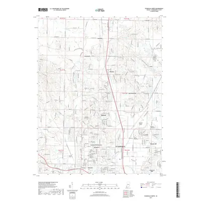
1981 West Franklin
Vanderburgh County, IN
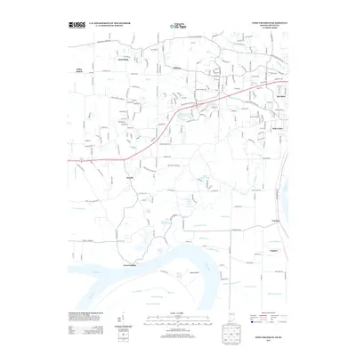
1999 Evansville South
Vanderburgh County, IN
2010 Evansville North
Vanderburgh County, IN
2010 Evansville South
Vanderburgh County, IN
2010 Kasson
Vanderburgh County, IN
2010 West Franklin
Vanderburgh County, IN
2013 Evansville North
Vanderburgh County, IN
2013 Evansville South
Vanderburgh County, IN
2013 Kasson
Vanderburgh County, IN
2013 West Franklin
Vanderburgh County, IN
2016 Evansville North
Vanderburgh County, IN
2016 Evansville South
Vanderburgh County, IN
2016 Kasson
Vanderburgh County, IN
2016 West Franklin
Vanderburgh County, IN
2019 Evansville North
Vanderburgh County, IN
2019 Evansville South
Vanderburgh County, IN
2019 Kasson
Vanderburgh County, IN
2019 West Franklin
Vanderburgh County, IN
2022 Evansville North
Vanderburgh County, IN
2022 Evansville South
Vanderburgh County, IN
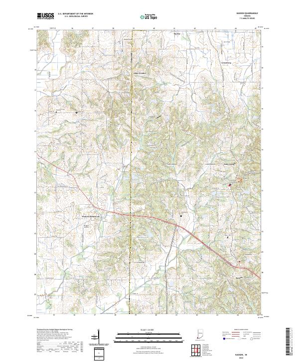
2022 Kasson
Vanderburgh County, IN
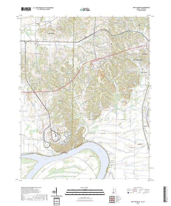
2022 West Franklin
Vanderburgh County, IN