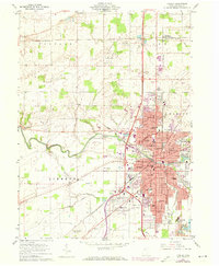
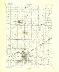
1960 Map of Findlay
USGS Topo · Published 1973About this map
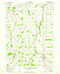
The Blanchard River carves through the heart of Findlay, anchoring a dense grid of residential and industrial development during the early 1960s. This industrial landscape is defined by massive infrastructure, including several Tank Farms and an expansive network of railroads featuring the Norfolk and Western, Penn Central, and Baltimore and Ohio lines. These transit corridors frame the city's growth, connecting local landmarks like Findlay College and the County Fairground to the broader Hancock County region.
Find a feature on this map
71 named features on this map. Tap any name to fly to it.
Don’t see what you’re looking for? This feature index may not catch every label — zoom into the map to look around manually.
Map Details
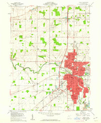
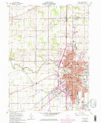
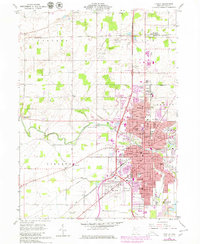
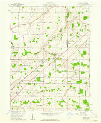
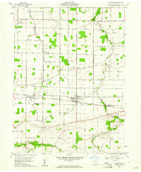
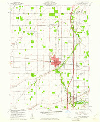
Editions of this 1960 Findlay Map
4 editions found
Other maps of this area
1903 · Findlay
USGS Topo · 1:62,500

1905 · Arlington
USGS Topo · 1:62,500

1907 · Bluffton
USGS Topo · 1:62,500

1907 · Arlington
USGS Topo · 1:24,000

1950 · Marion
USGS Topo · 1:250,000

1956 · Toledo
USGS Topo · 1:250,000
1960 · Rawson
USGS Topo · 1:24,000
1960 · Bloomdale
USGS Topo · 1:24,000
1960 · North Baltimore
USGS Topo · 1:24,000
1960 · Arlington
USGS Topo · 1:24,000