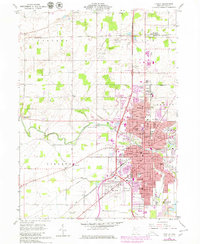
1960 Map of Findlay
USGS Topo · Published 1980About this map
The Blanchard River and its tributaries, Aurand Run and Eagle Creek, anchor the development of Findlay during this period of mid-century expansion. The map illustrates a dense educational and civic network, including Findlay College, the County Courthouse, and numerous neighborhood institutions like Glenwood Jr High Sch and St Michael Sch. This survey captures the city at a pivotal moment when the heavy industrial presence of the Norfolk and Western and Baltimore and Ohio railroads met the rising dominance of the interstate system, evidenced by multiple interchanges along the highway corridor.
Find a feature on this map
58 named features on this map. Tap any name to fly to it.
Don’t see what you’re looking for? This feature index may not catch every label — zoom into the map to look around manually.
Map Details
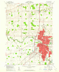
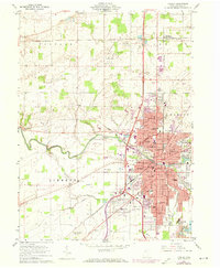
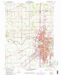
Editions of this 1960 Findlay Map
4 editions found
Other maps of this area

1903 · Findlay
USGS Topo · 1:62,500

1905 · Arlington
USGS Topo · 1:62,500

1907 · Bluffton
USGS Topo · 1:62,500

1907 · Arlington
USGS Topo · 1:24,000

1950 · Marion
USGS Topo · 1:250,000

1956 · Toledo
USGS Topo · 1:250,000

1960 · Rawson
USGS Topo · 1:24,000

1960 · Bloomdale
USGS Topo · 1:24,000

1960 · North Baltimore
USGS Topo · 1:24,000

1960 · Arlington
USGS Topo · 1:24,000