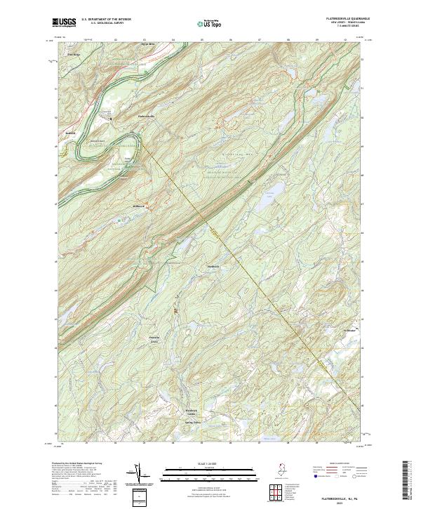
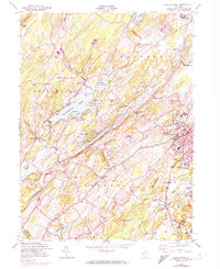
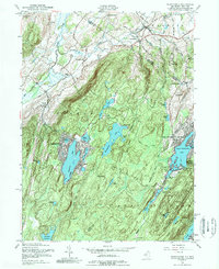
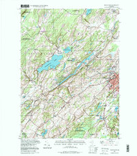
2023 Map of Flatbrookville
USGS Topo · Published 2023About this map
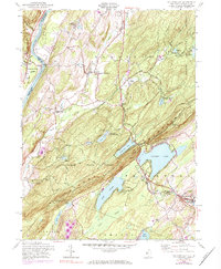
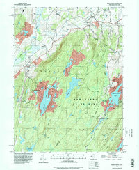
Wallpack Bend and the Delaware River define the western reaches of this landscape, where the water carves through the prominent ridge of Kittatinny Mtn. The area is characterized by a high density of water bodies, including high-elevation features like Crater Lake and Hemlock Lake, alongside several recreational lakes such as Lake Success and Fairview Lake. Small, historic settlements like Flatbrookville and Millbrook are situated near the river, while Hardwick Center and Spring Valley occupy the interior valleys. The extensive Appalachian National Scenic Trail traverses the primary mountain ridge, paralleling the river corridor. Evidence of early local history is preserved at the Lower Wall Pack Cem, providing a genealogical point of interest within the broader Delaware Water Gap National Recreation Area. The map reveals a transition from river-focused settlements to the higher, lake-strewn terrain of the northwestern New Jersey highlands.
Find a feature on this map
116 named features on this map. Tap any name to fly to it.
Don’t see what you’re looking for? This feature index may not catch every label — zoom into the map to look around manually.
Map Details
Editions of this 2023 Flatbrookville Map
This is the sole edition of this map. No revisions or reprints were ever made.
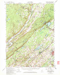
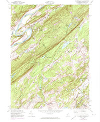
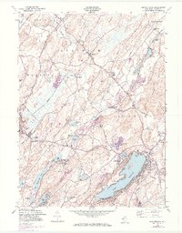
Historical Maps of Middle Smithfield Township Through Time
21 maps found
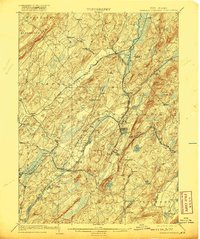
1903 Franklin Furnace
Sussex County, NJ

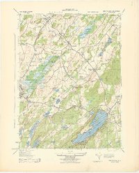
1943 Flatbrookville
Sussex County, NJ

1943 Franklin Furnace
Sussex County, NJ
1943 Newton East
Sussex County, NJ
1943 Port Jervis South
Sussex County, NJ
1954 Culvers Gap
Sussex County, NJ
1954 Dingmans Ferry
Sussex County, NJ
1954 Flatbrookville
Sussex County, NJ
1954 Newton East
Sussex County, NJ
1954 Newton West
Sussex County, NJ
1954 Wawayanda
Sussex County, NJ
1976 Flatbrookville
Sussex County, NJ

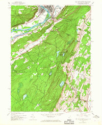
1992 Flatbrookville
Sussex County, NJ
1994 Newton West
Sussex County, NJ
1994 Wawayanda
Sussex County, NJ
1997 Flatbrookville
Sussex County, NJ
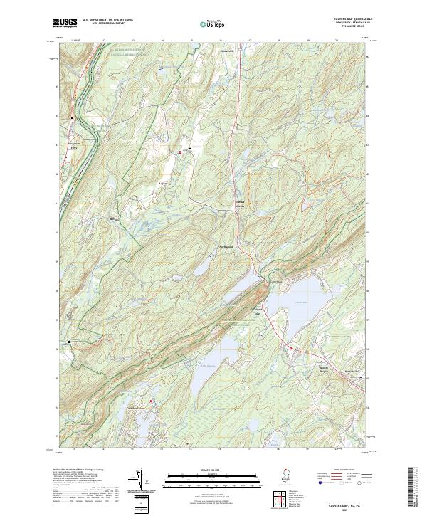
2023 Culvers Gap
Sussex County, NJ
2023 Flatbrookville
Sussex County, NJ
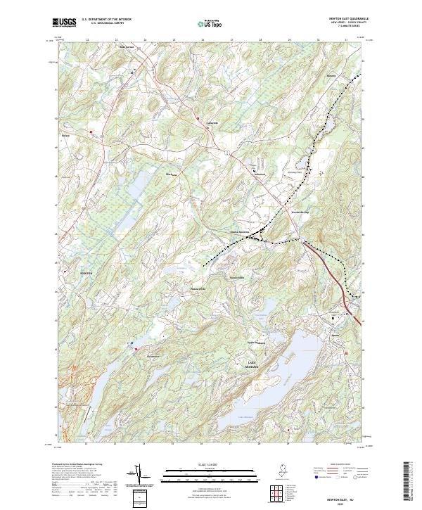
2023 Newton East
Sussex County, NJ
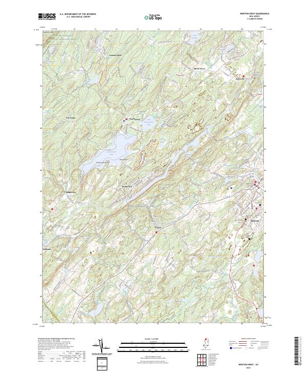
2023 Newton West
Sussex County, NJ
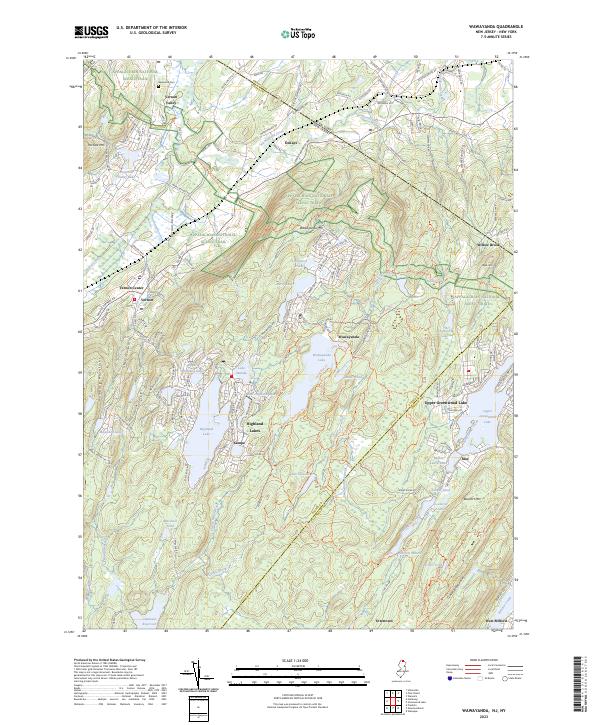
2023 Wawayanda
Sussex County, NJ