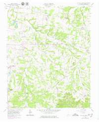
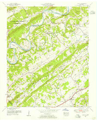
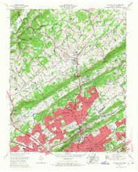
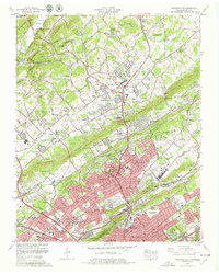
1958 Map of Fountain City
USGS Topo · Published 1979This historical map portrays the area of Fountain City in 1958, primarily covering Knox County. Featuring a scale of 1:24000, this map provides a highly detailed snapshot of the terrain, roads, buildings, counties, and historical landmarks in the Fountain City region at the time. Published in 1979, it is the sole known edition of this map.
Map Details
Editions of this 1958 Fountain City Map
This is the sole edition of this map. No revisions or reprints were ever made.
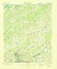
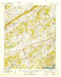
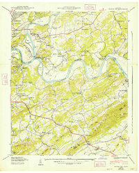
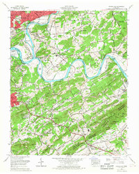
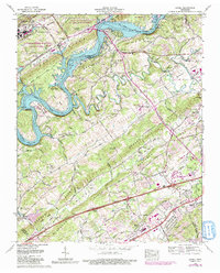
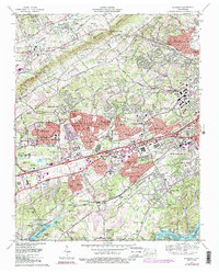
Historical Maps of Knoxville Through Time
25 maps found

1935 Bearden
Knox County, TN

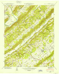
1935 Fountain City
Knox County, TN

1935 Lovell
Knox County, TN

1936 Friendship
Knox County, TN
1936 Gorryton
Knox County, TN

1936 Powell Station
Knox County, TN

1936 Shooks Gap
Knox County, TN
1940 Bearden
Knox County, TN

1940 Lovell
Knox County, TN
1940 Shooks Gap
Knox County, TN

1941 Fountain City
Knox County, TN

1941 Lovell
Knox County, TN
1941 Powell Station
Knox County, TN

1953 Bearden
Knox County, TN
1953 Fountain City
Knox County, TN
1953 Lovell
Knox County, TN
1953 Shooks Gap
Knox County, TN
1958 Fountain City
Knox County, TN

1966 Bearden
Knox County, TN
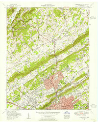
1966 Fountain City
Knox County, TN
1966 Shooks Gap
Knox County, TN
1968 Lovell
Knox County, TN
1978 Bearden
Knox County, TN
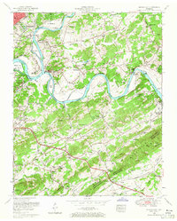
1978 Fountain City
Knox County, TN
1979 Shooks Gap
Knox County, TN