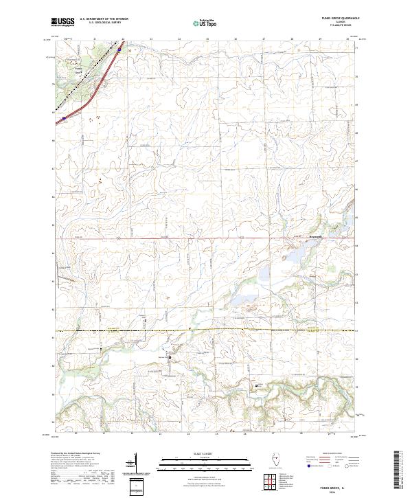
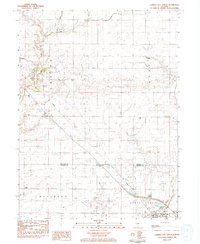
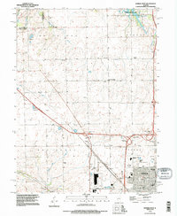
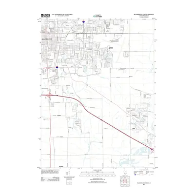
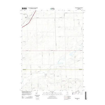
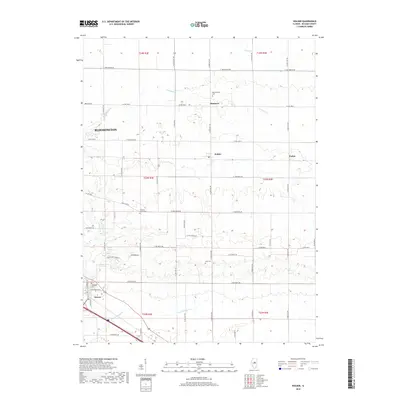
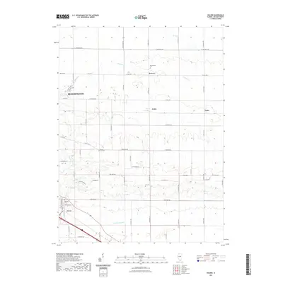
2024 Map of Funks Grove
USGS Topo · Published 2024About this map
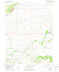
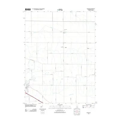
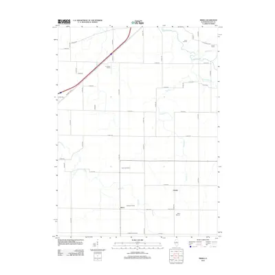
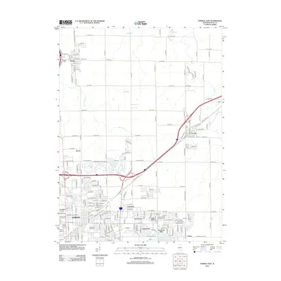
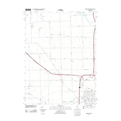
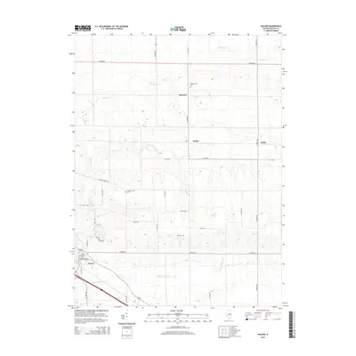
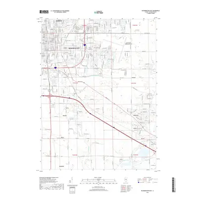
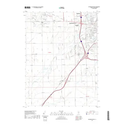
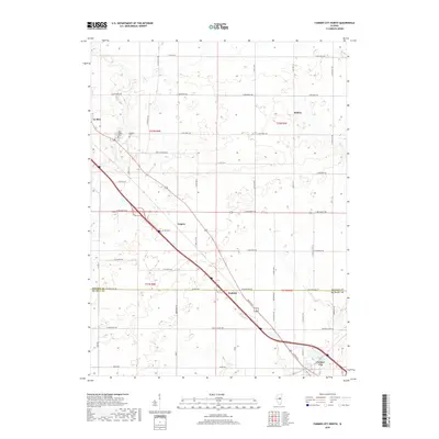
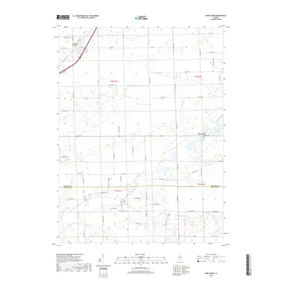
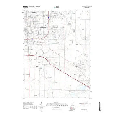
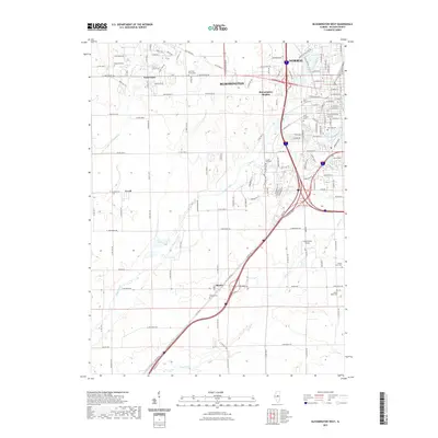
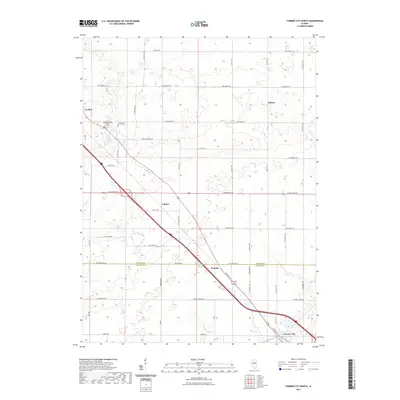
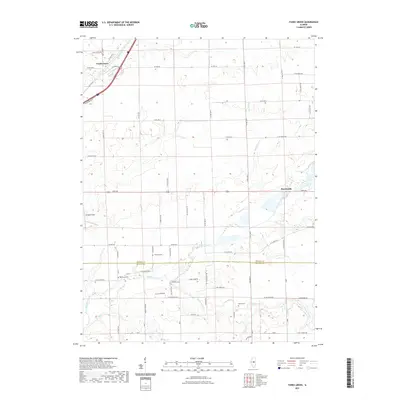
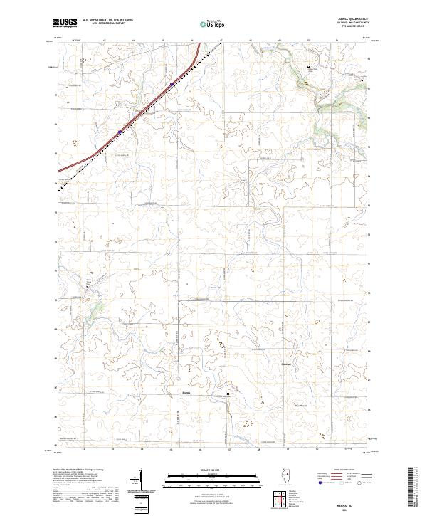
Kickapoo Creek and its many tributaries, including Short Point Creek and Long Point Creek, carve through the agricultural landscape of this central Illinois region. The map captures the meeting of McLean and De Witt counties, a borderland defined by a dense grid of rural roads such as Dixie Rd and Co Hwy 36. Near the village of Heyworth, the landscape is dotted with small family and community burial grounds, including Fremont Cem and Halsey Cem, which offer significant value for genealogists tracing pioneer roots in the prairie. The transit history of the area is visible in the alignment of Old Rte 66 near Funks Grove, marking the evolution of travel from early settlement trails to the famed Mother Road and modern interstate systems. Holland Field serves as a distinct local landmark amidst the sprawling fields and creek beds.
Find a feature on this map
71 named features on this map. Tap any name to fly to it.
Don’t see what you’re looking for? This feature index may not catch every label — zoom into the map to look around manually.
Map Details
Editions of this 2024 Funks Grove Map
This is the sole edition of this map. No revisions or reprints were ever made.
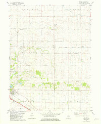
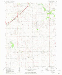
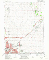
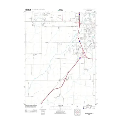
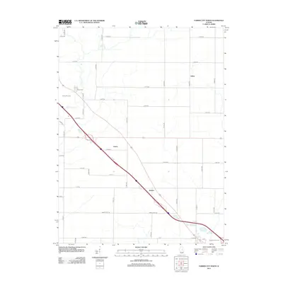
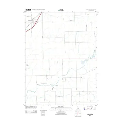
Historical Maps of Heyworth Through Time
52 maps found

1949 Mc Lean
McLean County, IL
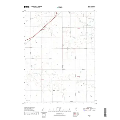
1970 Normal West
McLean County, IL
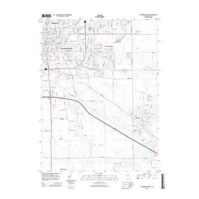
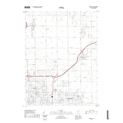
1981 Bloomington East
McLean County, IL
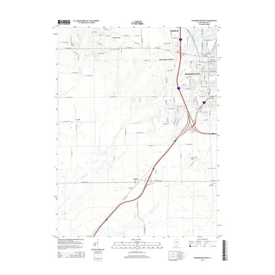
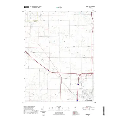
1981 Bloomington West
McLean County, IL
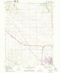
1981 Funks Grove
McLean County, IL
1981 Holder
McLean County, IL
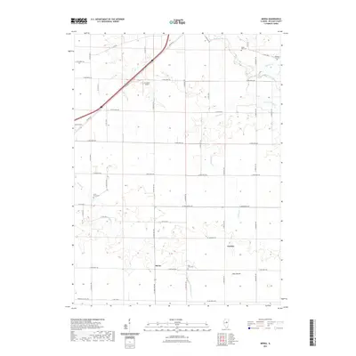
1981 Merna
McLean County, IL
1981 Normal East
McLean County, IL
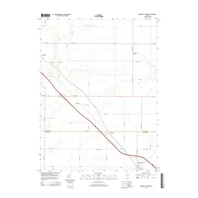
1983 Farmer City North
McLean County, IL
1995 Normal West
McLean County, IL
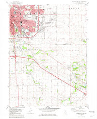
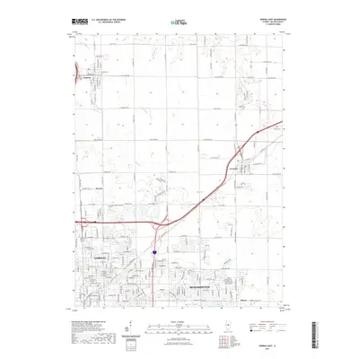
1998 Bloomington East
McLean County, IL
1998 Normal East
McLean County, IL
2012 Bloomington East
McLean County, IL
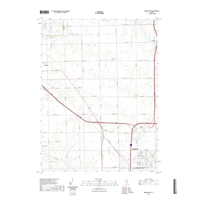
2012 Bloomington West
McLean County, IL
2012 Farmer City North
McLean County, IL
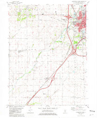
2012 Funks Grove
McLean County, IL
2012 Holder
McLean County, IL
2012 Merna
McLean County, IL
2012 Normal East
McLean County, IL
2012 Normal West
McLean County, IL
2015 Bloomington East
McLean County, IL
2015 Bloomington West
McLean County, IL
2015 Farmer City North
McLean County, IL
2015 Funks Grove
McLean County, IL
2015 Holder
McLean County, IL
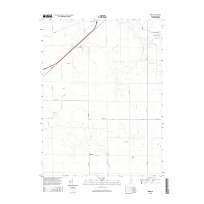
2015 Merna
McLean County, IL
2015 Normal East
McLean County, IL
2015 Normal West
McLean County, IL
2018 Bloomington East
McLean County, IL
2018 Bloomington West
McLean County, IL
2018 Farmer City North
McLean County, IL
2018 Funks Grove
McLean County, IL
2018 Holder
McLean County, IL
2018 Merna
McLean County, IL
2018 Normal East
McLean County, IL
2018 Normal West
McLean County, IL
2021 Bloomington East
McLean County, IL
2021 Bloomington West
McLean County, IL
2021 Farmer City North
McLean County, IL
2021 Funks Grove
McLean County, IL
2021 Holder
McLean County, IL
2021 Merna
McLean County, IL
2021 Normal East
McLean County, IL
2021 Normal West
McLean County, IL
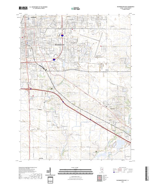
2024 Bloomington East
McLean County, IL
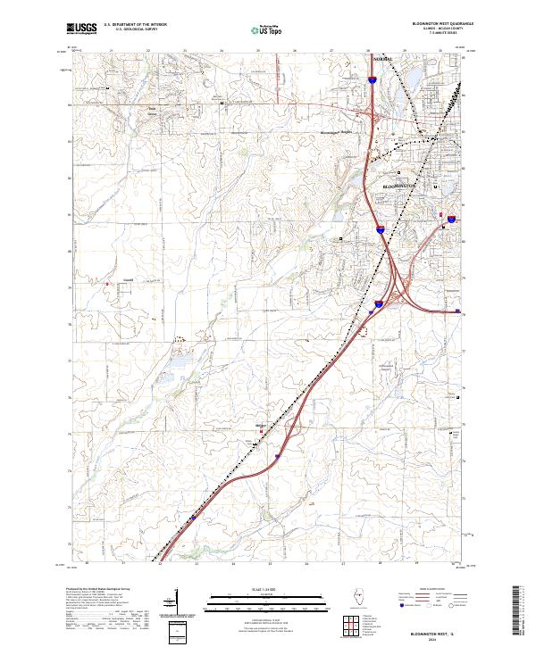
2024 Bloomington West
McLean County, IL
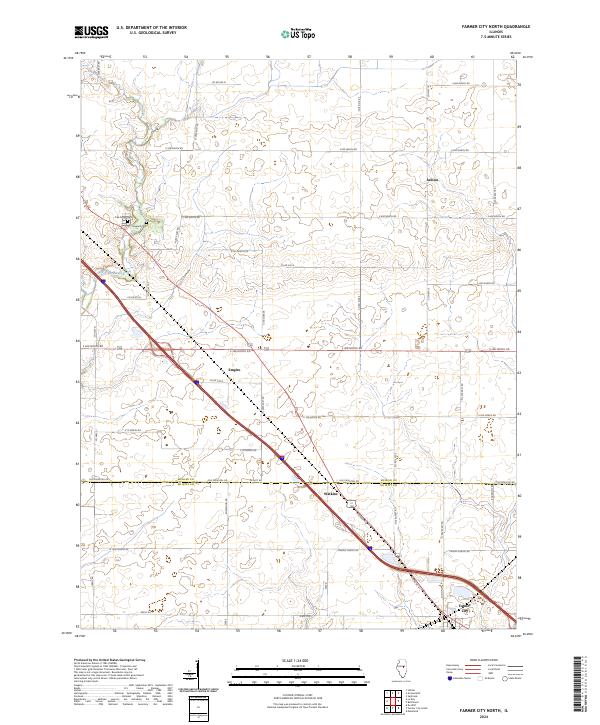
2024 Farmer City North
McLean County, IL
2024 Funks Grove
McLean County, IL
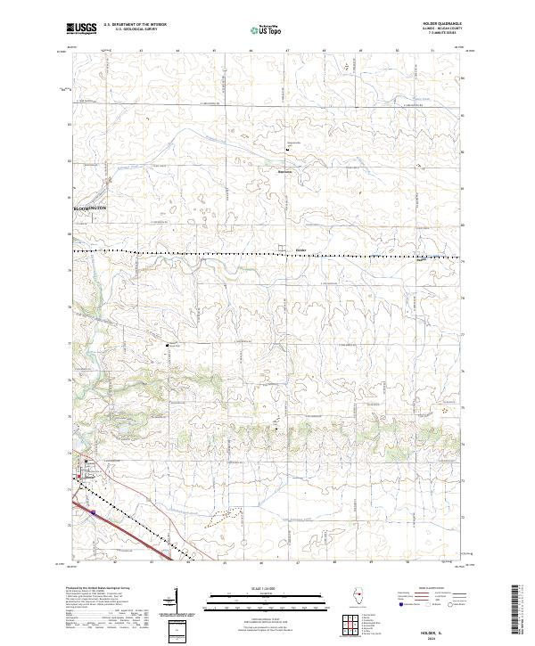
2024 Holder
McLean County, IL
2024 Merna
McLean County, IL
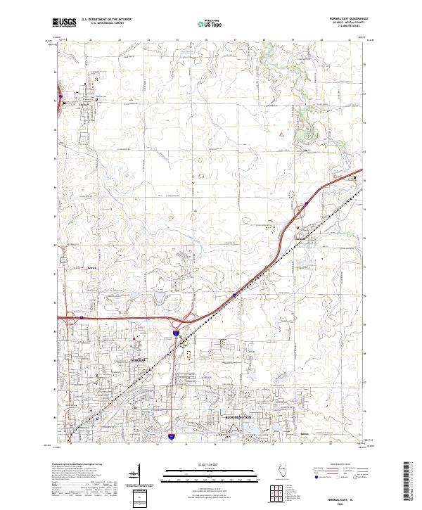
2024 Normal East
McLean County, IL
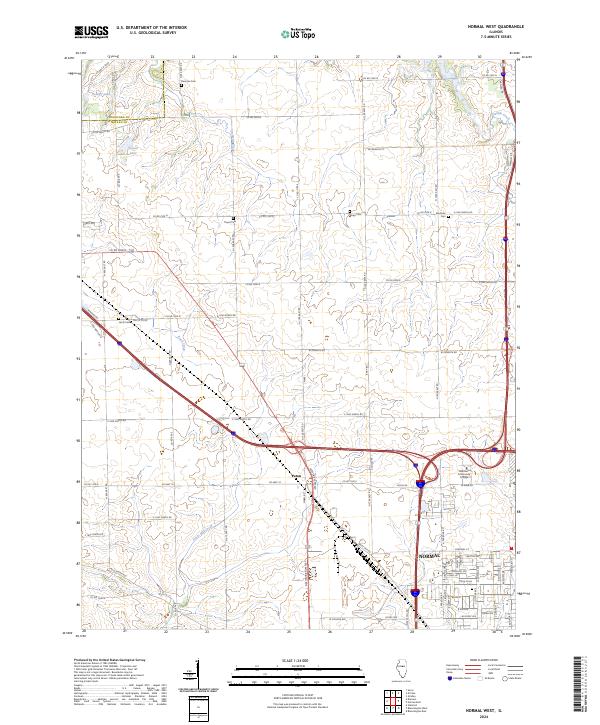
2024 Normal West
McLean County, IL