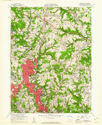
1960 Map of Glenshaw
USGS Topo · Published 1961About this map
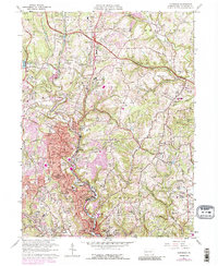
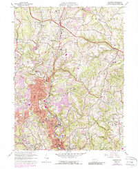
The Baltimore And Ohio railroad winds through the narrow valleys of Allegheny County, serving as a primary corridor for the industrial and suburban growth of Glenshaw and Etna in the early 1960s. This survey illustrates a landscape in transition, where residential developments like Elfinwild and Allison Park expand across the ridges between the deeply incised paths of Pine Creek and Little Pine Creek. The presence of the Radio Sta (KDKA) tower and the Pennsylvania Turnpike slicing through the northern sections near Wildwood signals the area's role in regional communications and transport. Local history is deeply embedded in the map's details, from the numerous parochial schools such as St Nicholas Sch to the many community landmarks like the Little Red Brick Ch and the historic Talley Cavey crossing, providing a rich view of mid-century community life.
Find a feature on this map
94 named features on this map. Tap any name to fly to it.
Don’t see what you’re looking for? This feature index may not catch every label — zoom into the map to look around manually.
Map Details
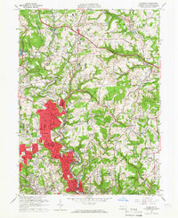
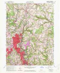
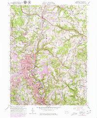
Editions of this 1960 Glenshaw Map
6 editions found
Other maps of this area

1904 · Mc Keesport
USGS Topo · 1:62,500

1904 · Carnegie
USGS Topo · 1:62,500

1906 · Carnegie
USGS Topo · 1:62,500

1906 · Sewickley
USGS Topo · 1:62,500

1907 · Pittsburg
USGS Topo · 1:62,500

1908 · Sewickley
USGS Topo · 1:62,500

1908 · Carnegie
USGS Topo · 1:62,500

1908 · New Kensington
USGS Topo · 1:62,500

1910 · New Kensington
USGS Topo · 1:62,500

1948 · Pittsburgh West
USGS Topo · 1:24,000